Healthcare in Angola, Luanda
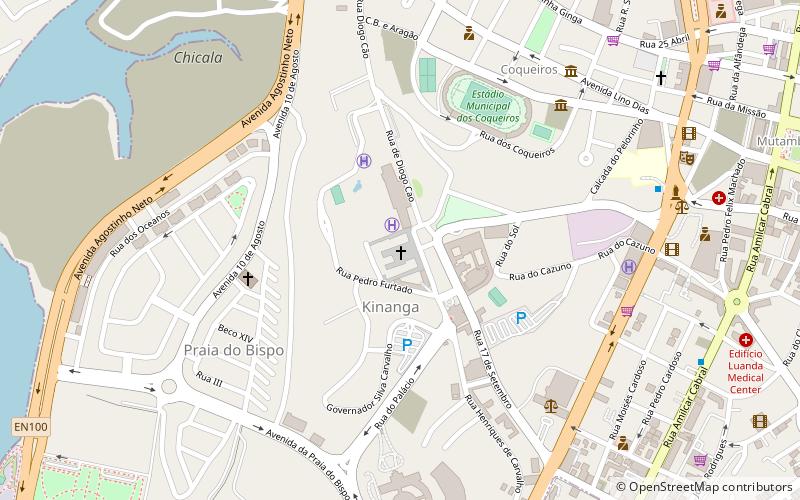
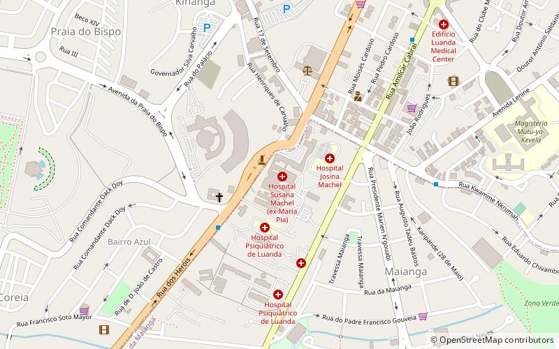
Map
Gallery
Facts and practical information
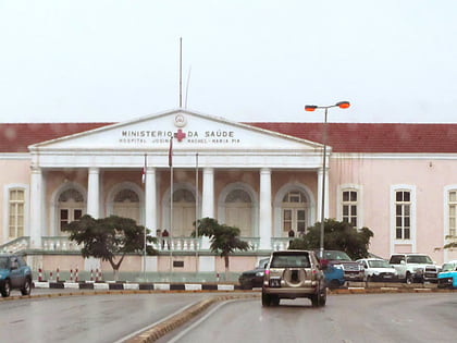
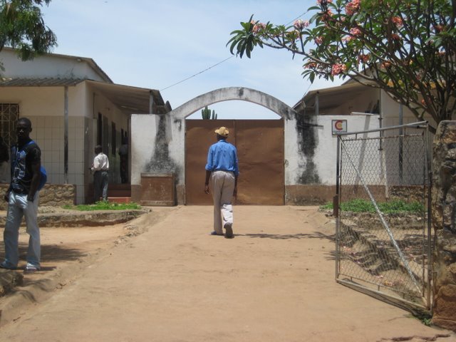
Healthcare in Angola consists of a network of hospitals, clinics, and dispensaries. ()
Coordinates: 8°49'26"S, 13°13'35"E
Address
Luanda
ContactAdd
Social media
Add
Day trips
Healthcare in Angola – popular in the area (distance from the attraction)
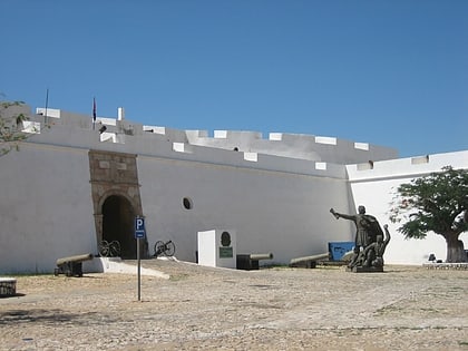
Nearby attractions include: Fortress of São Miguel, Museu Nacional de Antropologia, Igreja de Jesus, Church of Our Lady of Remedies.
Frequently Asked Questions (FAQ)
Which popular attractions are close to Healthcare in Angola?
Nearby attractions include Igreja de Jesus, Luanda (13 min walk), Museu Nacional de Antropologia, Luanda (17 min walk), Igreja do Carmo, Luanda (18 min walk), Church of Our Lady of Remedies, Luanda (19 min walk).
How to get to Healthcare in Angola by public transport?
The nearest stations to Healthcare in Angola:
Bus
Bus
- Mutamba (19 min walk)
- Transporte Colectivo Urbano de Luanda (19 min walk)
