Mataderos, Buenos Aires

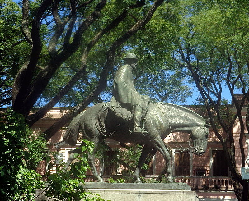
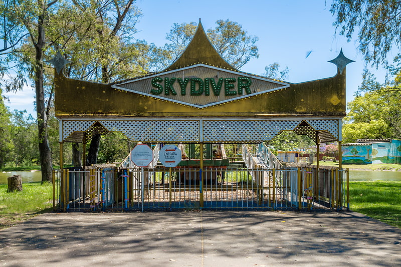
Gallery (3)
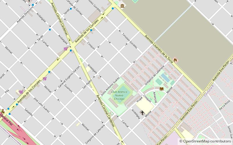
Map
Map
Gallery
Facts and practical information
Mataderos is a neighborhood in The Autonomous City of Buenos Aires, Argentina, belonging to the 9th Comuna. ()
Address
Comuna 9 (Mataderos)Buenos Aires
ContactAdd
Social media
Add
Getting there by public transportation
Public transportation stops near this location
- Bus
 Bus
Bus
- Calculate routeAv. de los Corrales y Cañada de Gómez 6 min walk
- Calculate routeAv. de los Corrales y Cnel. Cárdenas 6 min walk
Maps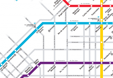 Metro
Metro
MetroDay trips


Frequently Asked Questions (FAQ)
How to get to Mataderos by public transport?
The nearest stations to Mataderos:
Bus
Bus
- Av. de los Corrales y Cañada de Gómez • Lines: 126T, 126V, 180x155, 180x155n, 63P, 63R (6 min walk)
- Av. de los Corrales y Cnel. Cárdenas • Lines: 180x155, 180x155n, 63P, 63R (6 min walk)