Cleft Peak, South West National Park
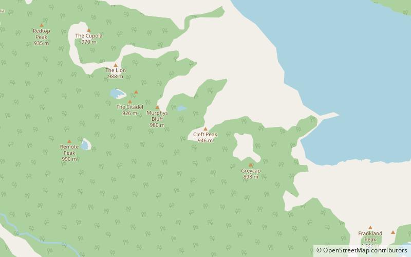
Map
Facts and practical information
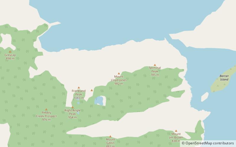
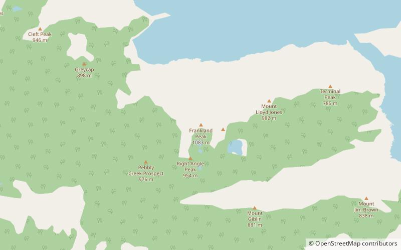
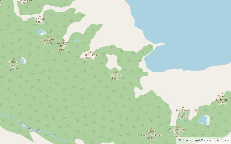
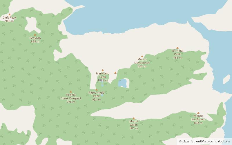
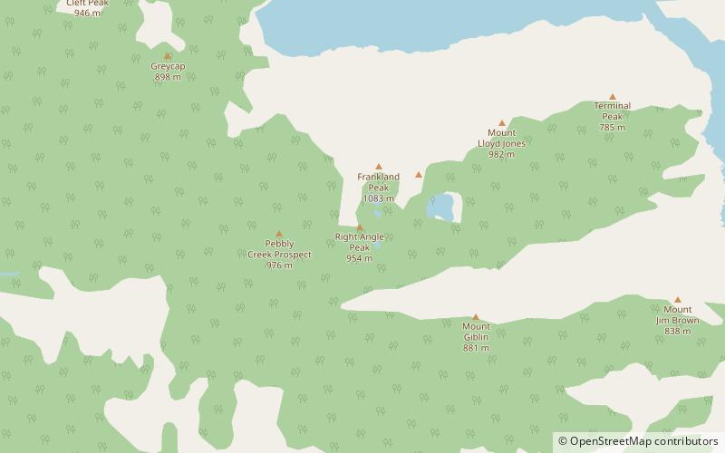
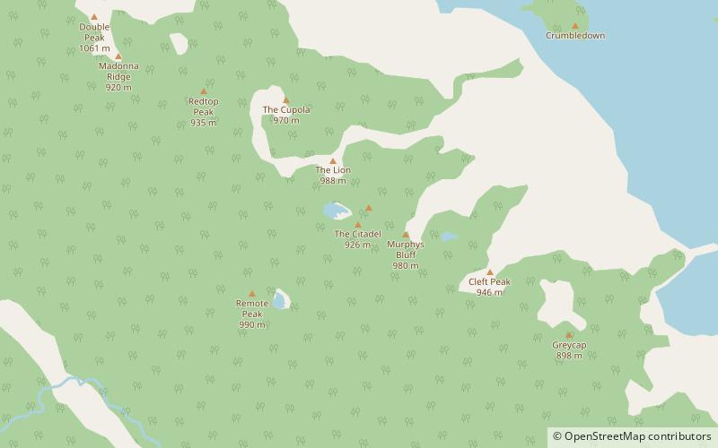
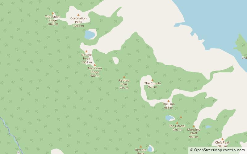
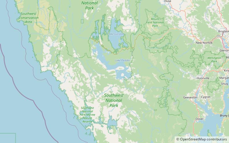
Cleft Peak is a mountain in South West Tasmania. It lies on the North West end of the Frankland Range jutting out toward the East from the range toward the impoundment Lake Pedder. It is South East of Murpheys Bluff and North West of Greycap. ()
Elevation: 3104 ftProminence: 1969 ftCoordinates: 42°57'47"S, 146°5'31"E
Address
South West National Park
ContactAdd
Social media
Add
Day trips
Cleft Peak – popular in the area (distance from the attraction)
Nearby attractions include: Lake Pedder, The Cupola Mountain, Mount Lloyd Jones, Frankland Peak.


