Trek Zone

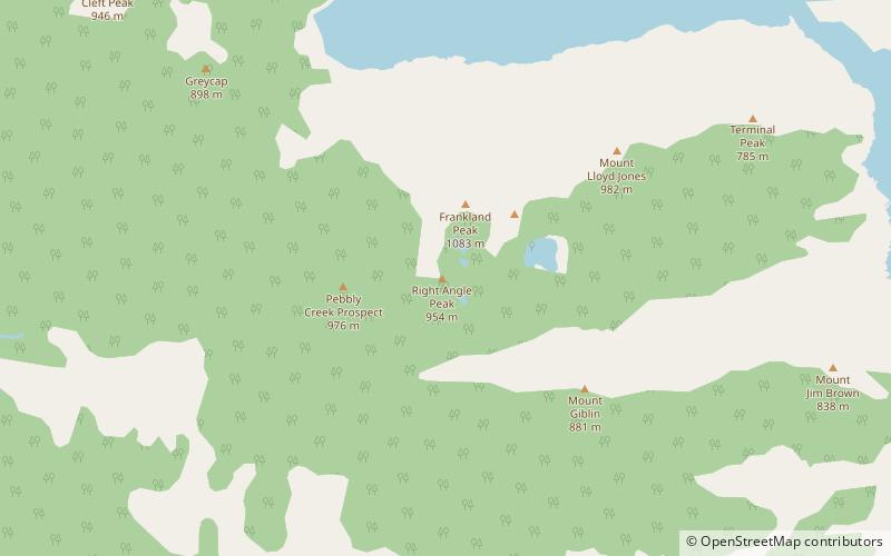
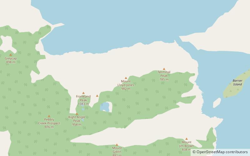
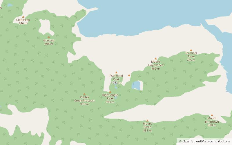
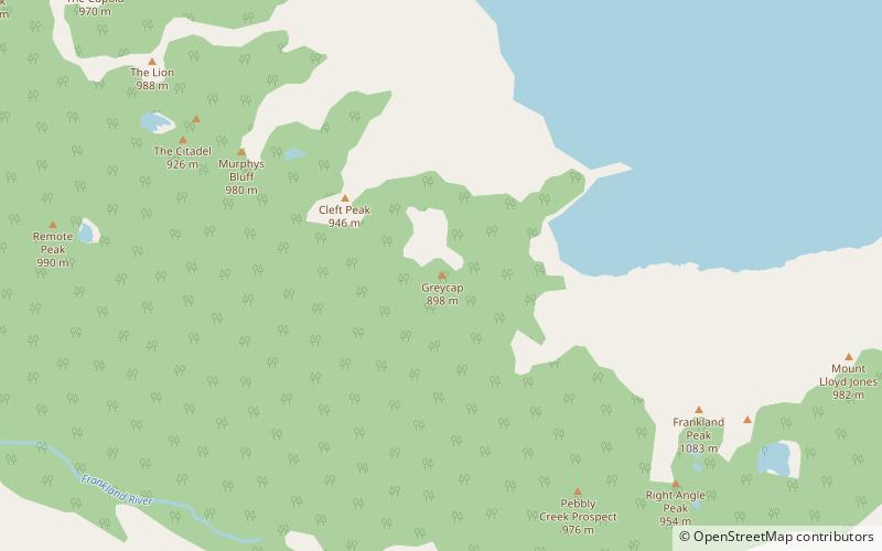
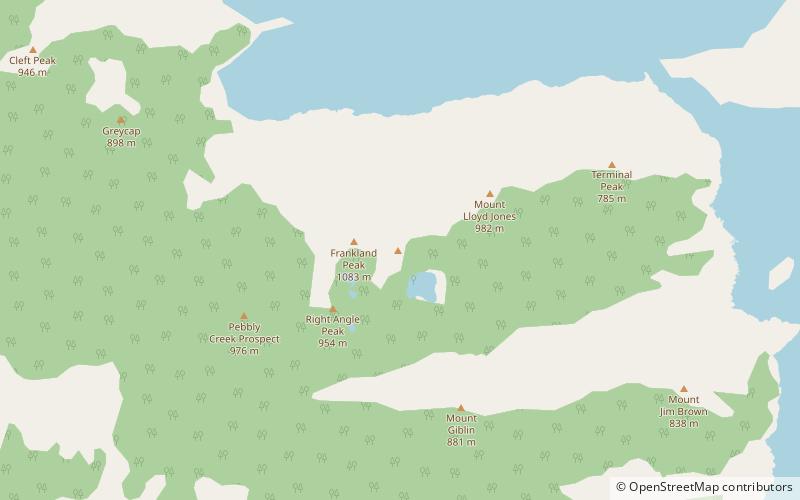
Right Angle Peak, South West National Park

#19 among attractions in South West National Park

Nature, Natural attraction, Mountain
Right Angle Peak location map
Map

Facts and practical information
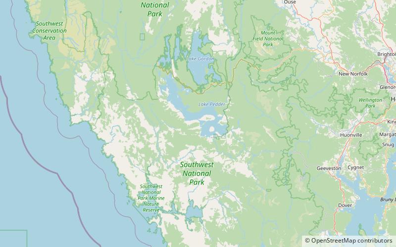
Elevation: 3130 ftProminence: 1969 ftCoordinates: 42°59'44"S, 146°8'38"E
Address

South West National Park Australia

ContactAdd
Social media
Add
Day trips

Right Angle Peak – popular in the area (distance from the attraction)

Nearby attractions include: Lake Pedder, The Cupola Mountain, Mount Lloyd Jones, Frankland Peak.

  • lake pedder south west national park4.3 miN
  • the cupola mountain south west national park6 miNW
  • mount lloyd jones south west national park location map
    1.6 miNE
  • frankland peak south west national park location map
    0.6 miN
  • greycap south west national park location map
    2.5 miNW
  • secheron peak south west national park location map
    0.7 miNE
  • the citadel mountain south west national park location map
    4.7 miNW
  • cleft peak south west national park location map
    3.5 miNW
  • redtop peak south west national park location map
    6.7 miNW
  • frankland range south west national park1.1 miN
  • terminal peak south west national park location map
    3 miE

Frequently Asked Questions (FAQ)

Which popular attractions are close to Right Angle Peak?

Nearby attractions include Frankland Peak, South West National Park (16 min walk), Secheron Peak, South West National Park (20 min walk).

Where to next? Visit tasmania Tasmania region page or discover the top tourist attractions in Australia.