Redtop Peak, South West National Park
#22 among attractions in South West National Park
Facts and practical information
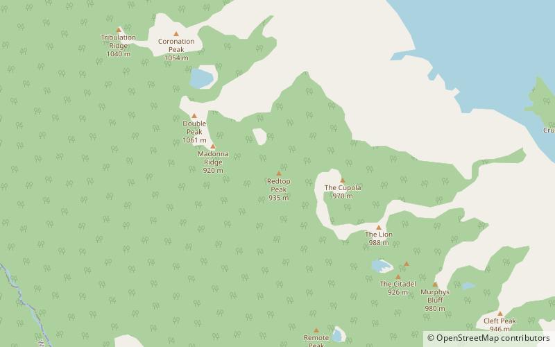
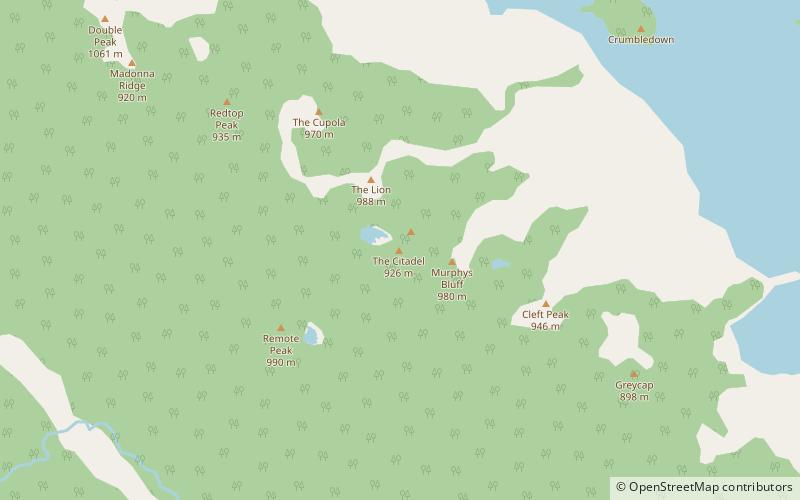
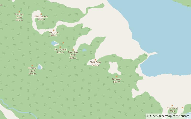
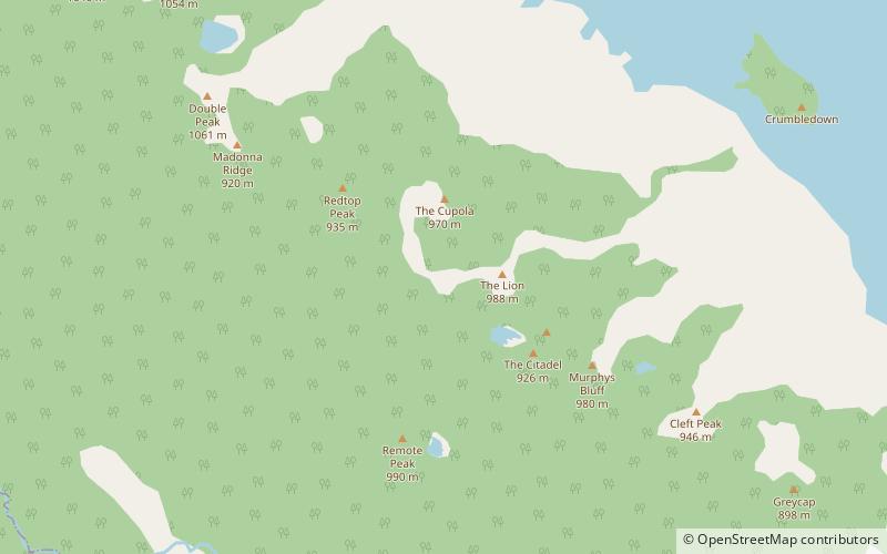
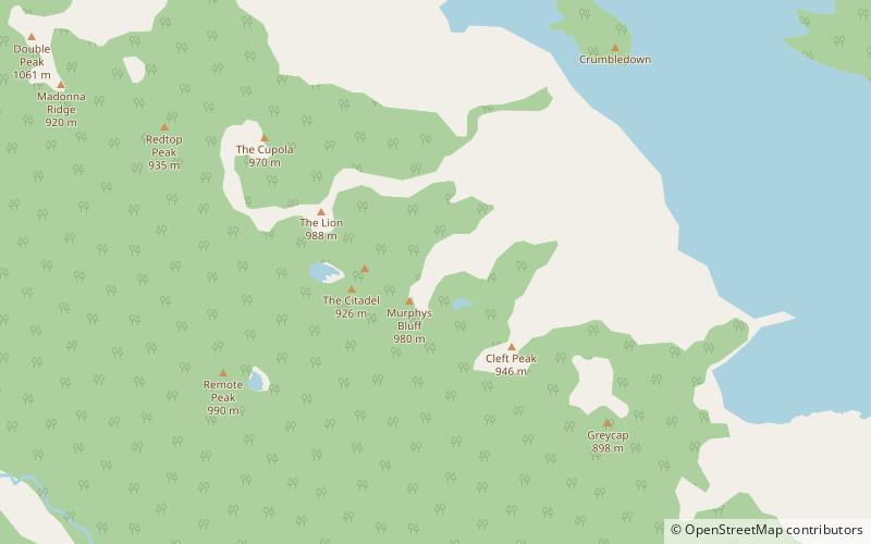
Redtop Peak is a mountain in South West Tasmania. It lies on the North West end of the Frankland Range and the South West end of the Madonna Ridge above the impoundment Lake Pedder, to the west of The Cupola. ()
South West National Park Australia
Redtop Peak – popular in the area (distance from the attraction)
Nearby attractions include: Lake Pedder, The Cupola Mountain, Frankland Peak, Greycap.
 Nature, Lake
Lake Pedder, South West National Park
124 min walk • Lake Pedder, once a glacial outwash lake, is a man-made impoundment and diversion lake located in the southwest of Tasmania, Australia.
 Nature, Natural attraction, Mountain
The Cupola Mountain, South West National Park
21 min walk • The Cupola is a mountain in the south-west region of Tasmania, Australia. Situated on the Frankland Range, The Cupola has an elevation of 970 metres above sea level and juts out from the range towards the impoundment Lake Pedder.
 Nature, Natural attraction, Mountain
Frankland Peak, South West National Park
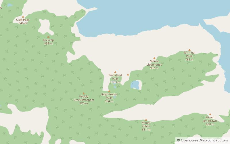
167 min walk • Frankland Peak is a mountain in South West Tasmania. It lies on the southeastern end of the Frankland Range near the impoundment Lake Pedder. It is west of Secheron Peak and north of Right Angle Peak.
 Nature, Natural attraction, Mountain
Greycap, South West National Park
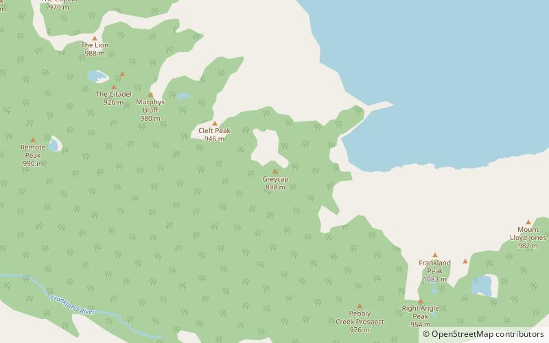
109 min walk • Greycap is a mountain in South West Tasmania. It lies near the centre of the Frankland Range towards the impoundment Lake Pedder. It is south east of Cleft Peak and north west of Frankland Saddle. It is a wider than most of the other peaks on the Frankland Range, with less steep sloping sides.
 Nature, Natural attraction, Mountain
Right Angle Peak, South West National Park
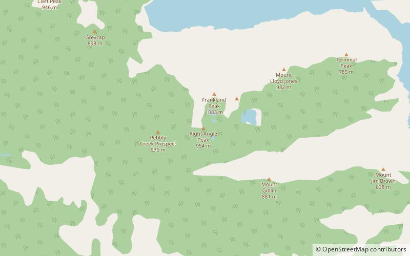
172 min walk • Right Angle Peak is a mountain in South West Tasmania. It lies to the south east of the Frankland Range near the impoundment Lake Pedder. It is surrounded by small lakes such as Lake Surprise to the east. It is south west of Secheron Peak.
 Nature, Natural attraction, Mountain
The Citadel Mountain, South West National Park
51 min walk • The Citadel is a mountain in South West Tasmania. It lies on the north east end of the Frankland Range jutting out towards the east from the range towards the impoundment Lake Pedder. It is directly south of The Lion and west of Murpheys Bluff. It forms the south eastern border of The Moat, an alpine lake.
 Nature, Natural attraction, Mountain
Cleft Peak, South West National Park
84 min walk • Cleft Peak is a mountain in South West Tasmania. It lies on the North West end of the Frankland Range jutting out toward the East from the range toward the impoundment Lake Pedder. It is South East of Murpheys Bluff and North West of Greycap.
 Nature, Natural attraction, Natural feature
Frankland Range, South West National Park
153 min walk • The Frankland Range is a mountain range that is located in the south-west region of Tasmania, Australia. The range forms part of a natural south-western border to the impounded Lake Pedder, formed by the damming of the Serpentine and Huon rivers.
 Nature, Natural attraction, Rock
The Lion Mountain, South West National Park
28 min walk • The Lion is a mountain in South West Tasmania. It lies on the North West end of the Frankland Range jutting out toward the East from the range toward the impoundment Lake Pedder. It is the third-highest mountain in the Frankland Range. It is directly South of The Cupola and North of The Citadel.
 Nature, Natural attraction, Mountain
Murpheys Bluff, South West National Park
63 min walk • Murpheys Bluff is a mountain in South West Tasmania. It lies on the North West end of the Frankland Range jutting out toward the East from the range toward the impoundment Lake Pedder. It is directly East of The Citadel and North West of Cleft Peak. It towers above Bluff Tarn to the North West.