Coca-Cola billboard, Sydney
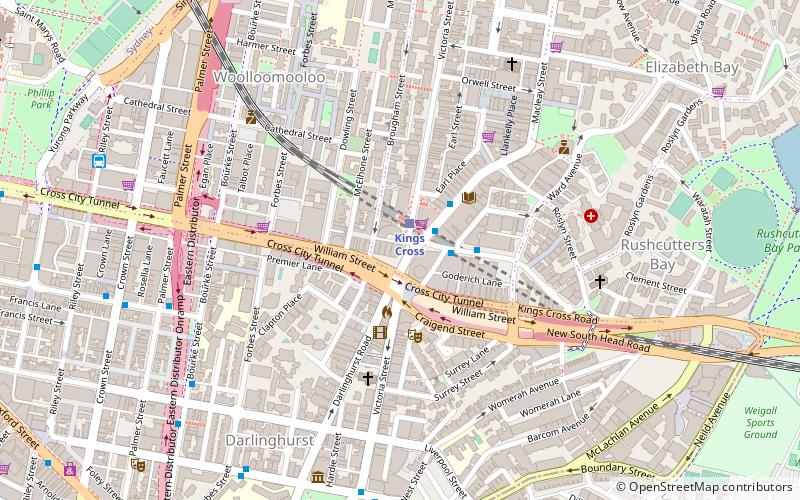
Map
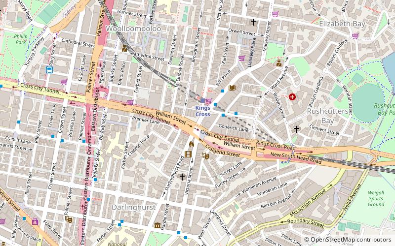
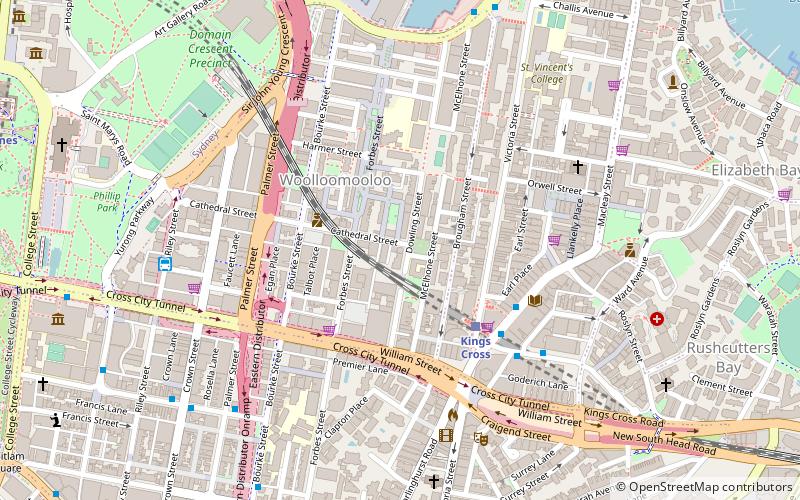
Map

Facts and practical information
The Coca-Cola Billboard in Kings Cross, Sydney, usually referred to by Sydneysiders simply as "The Coca-Cola Sign" or "The Coke Sign", is an advertising billboard erected in 1974 by the Coca-Cola Company. It is more often regarded as an iconic landmark than as an advertisement. Commercially, it is considered to be the premier billboard in Sydney and is the largest billboard in the Southern Hemisphere. It is commonly, though incorrectly, assumed to be heritage-listed. ()
Coordinates: 33°52'31"S, 151°13'19"E
Day trips
Coca-Cola billboard – popular in the area (distance from the attraction)
Nearby attractions include: Australian Museum, Art Gallery of New South Wales, Cook and Phillip Park Aquatic and Fitness Centre, Artspace Visual Arts Centre.
Frequently Asked Questions (FAQ)
Which popular attractions are close to Coca-Cola billboard?
Nearby attractions include William Street, Sydney (3 min walk), Juanita Nielsen's House, Sydney (3 min walk), Kings Cross, Sydney (5 min walk), Old Fitzroy Theatre, Sydney (5 min walk).
How to get to Coca-Cola billboard by public transport?
The nearest stations to Coca-Cola billboard:
Train
Bus
Light rail
Ferry
Train
- Kings Cross (2 min walk)
- St James (17 min walk)
Bus
- Kellett Street • Lines: 200 (3 min walk)
- Domain Terminus (11 min walk)
Light rail
- Town Hall • Lines: L2, L3 (23 min walk)
- Qvb • Lines: L2, L3 (23 min walk)
Ferry
- Circular Quay Wharf 2 • Lines: F2, F7 (30 min walk)
- Darling Point • Lines: F7 (31 min walk)

 Sydney Trains
 Sydney Light Rail
 Sydney Ferries