Mount Huntley

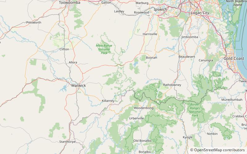
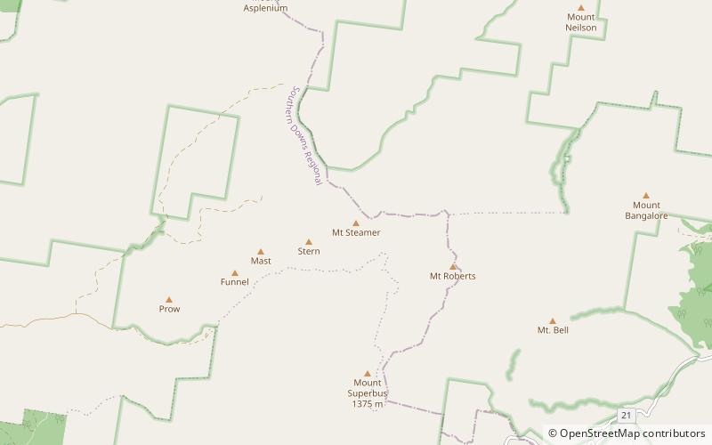
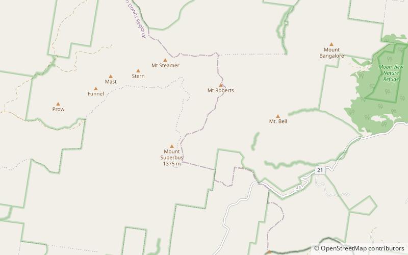
Map
Facts and practical information
Mount Huntley is one of the mountains of the Main Range in south-east Queensland, Australia. It is within the Main Range National Park. There are no marked walking trails to the summit, and the ascent is long and very steep with some dangerous sections. There is a clearing at the summit for hikers to camp in, however no water is available. It is possible to see Lake Moogerah and other local landmarks from Mount Huntley. ()
Coordinates: 28°9'0"S, 152°25'59"E
Location
Queensland
ContactAdd
Social media
Add
Day trips
Mount Huntley – popular in the area (distance from the attraction)
Nearby attractions include: Spicers Peak, Mount Greville, Mount Steamer, Spicers Gap Road Conservation Park.


