Mount Asplenium, Border Ranges National Park

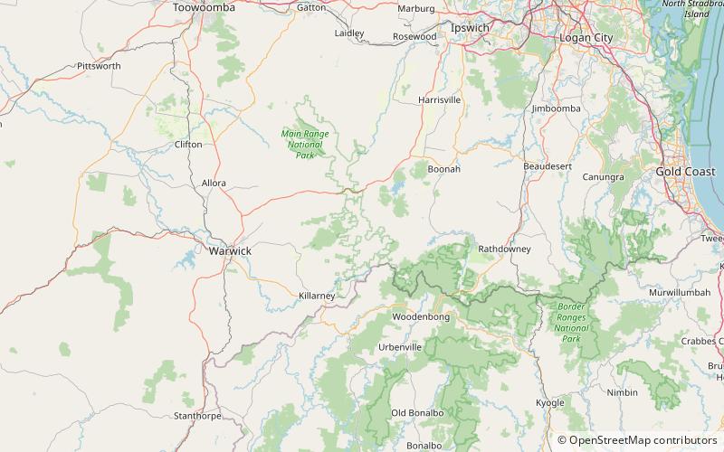
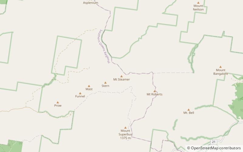
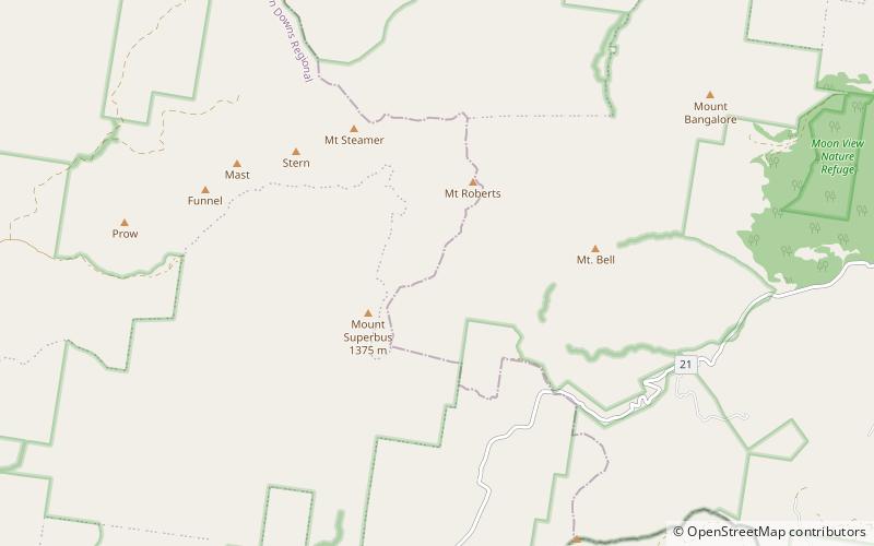
Map
Facts and practical information
Mount Asplenium is a mountain in the Main Range of south-east Queensland, Australia. It is protected within the Main Range National Park. The summit can be reached by hiking south from Mount Huntley, however there is no marked trail so only experienced navigators should attempt the ascent. The summit is rocky and covered in rainforest vegetation, making camping unpleasant and blocking out views. Nearby Panorama point, to the south, offers better views and is suitable for camping for a small party. ()
Elevation: 4245 ftCoordinates: 28°9'0"S, 152°25'59"E
Address
Border Ranges National Park
ContactAdd
Social media
Add
Day trips
Mount Asplenium – popular in the area (distance from the attraction)
Nearby attractions include: Spicers Peak, Mount Greville, Mount Steamer, Spicers Gap Road Conservation Park.


