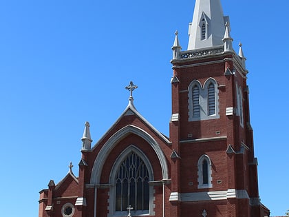
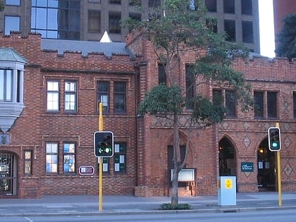
Vincent Street, Perth
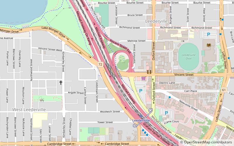
Map
Facts and practical information
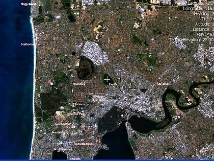
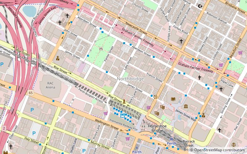
Vincent Street is a street in Perth, Western Australia. It runs west-east, separating the suburbs of West Perth and Perth from North Perth. ()
Coordinates: 31°56'11"S, 115°50'19"E
Address
West LeedervillePerth
ContactAdd
Social media
Add
Day trips
Vincent Street – popular in the area (distance from the attraction)
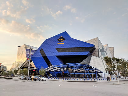
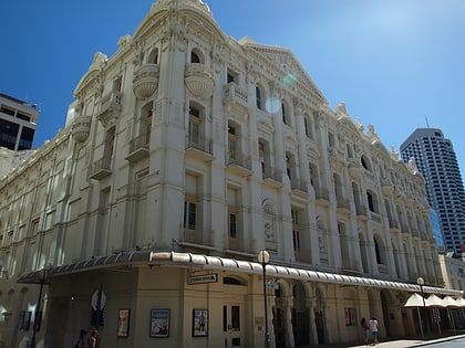
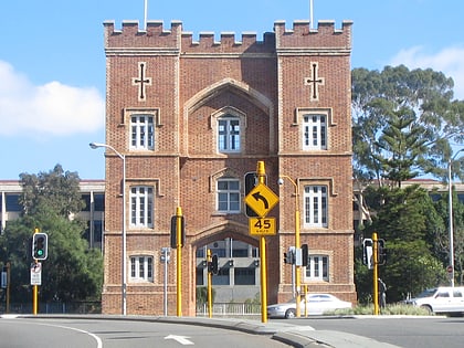
Nearby attractions include: Scitech, Perth Arena, His Majesty's Theatre, Barracks Arch.
Frequently Asked Questions (FAQ)
Which popular attractions are close to Vincent Street?
Nearby attractions include Mueller Park, Perth (16 min walk), Beatty Park, Perth (18 min walk), Scitech, Perth (19 min walk), Lake Monger, Perth (20 min walk).
How to get to Vincent Street by public transport?
The nearest stations to Vincent Street:
Train
Bus
Train
- Leederville (6 min walk)
- West Leederville (14 min walk)
Bus
- Leederville Station • Lines: 5F, 5T (7 min walk)
- Leederville Station Stand 2 • Lines: 96 (8 min walk)

