Hoop Pines, Brisbane

Gallery (1)
Map
Map
Facts and practical information
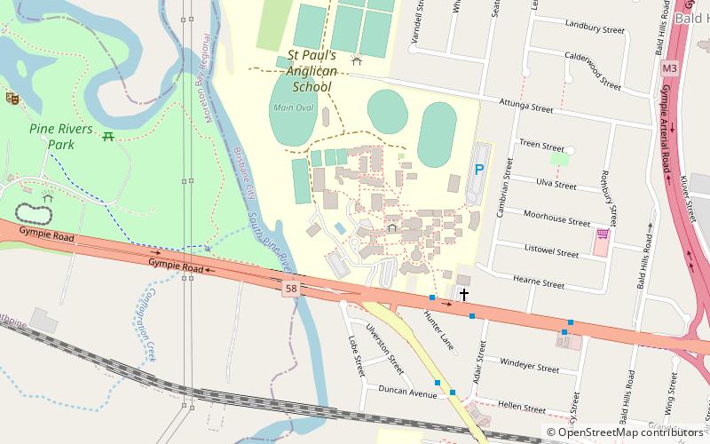
The Hoop Pines are a heritage-listed pair of trees at 34 Strathpine Road, Bald Hills, City of Brisbane, Queensland, Australia. They were added to the Queensland Heritage Register on 22 February 2002. ()
Coordinates: 27°18'54"S, 153°0'14"E
Address
Bald HillsBrisbane
ContactAdd
Social media
Add
Getting there by public transportation
Public transportation stops near this location
- Bus
- Train
 Bus
Bus
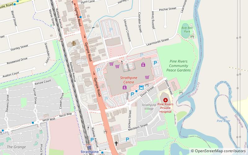
- Calculate routeGympie Road at Saint Pauls School 7 min walk
- Calculate routeBald Hills 15 min walk
- Calculate routeStrathpine 24 min walk
- Calculate routeBray Park 40 min walk
Day trips


Frequently Asked Questions (FAQ)
How to get to Hoop Pines by public transport?
The nearest stations to Hoop Pines:
Bus
Train
Bus
- Gympie Road at Saint Pauls School • Lines: 680 (7 min walk)
Train
- Bald Hills (15 min walk)
- Strathpine (24 min walk)