North Coast Roadside Rest Areas
#750 among destinations in Australia

Facts and practical information
The North Coast Roadside Rest Areas are a group of three heritage-listed rest areas in Queensland, Australia. They are : ()
QueenslandAustralia
North Coast Roadside Rest Areas plan & book
Unleash the traveler in you — discover the cheapest flight deals, find the perfect hotel or hostel nearby, and search for the best car rental prices. Travel at your own pace to discover new places and enjoy your journey.
North Coast Roadside Rest Areas – popular in the area (distance from the attraction)
Nearby attractions include: Dowse Lagoon, Strathpine Centre, Thai Sandgate, Sweeney's Reserve.
 Lake
LakeDowse Lagoon, Brisbane
152 min walk • Dowse Lagoon is a park and lake located in Sandgate, Queensland, a suburb of Brisbane. It was given its name in 1975, and it is named for Thomas Dowse, a merchant and early settler of Brisbane. Before 1975, it was largely known as the "Second Lagoon". It was named as a Ramsar site in 1993.
 Shopping, Shopping centre
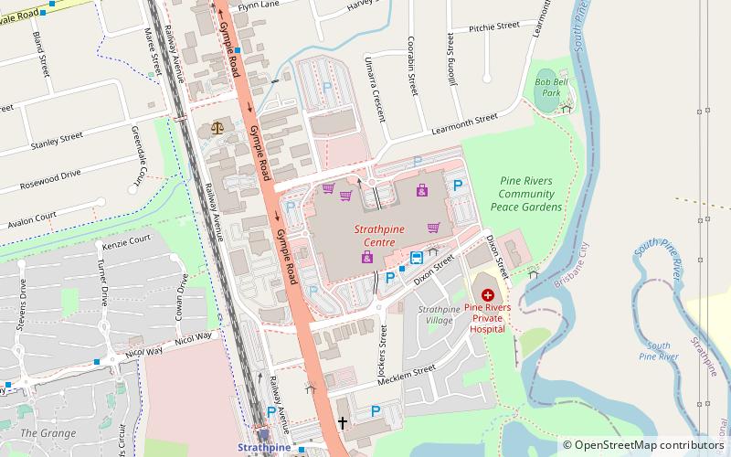
Strathpine Centre
64 min walk • Strathpine Centre is an urban shopping centre located in Strathpine, a suburb in Moreton Bay, north of Brisbane. The centre was built and opened in 1983 by The Westfield Group.
 Memorial
Thai Sandgate, Brisbane
165 min walk • Sandgate War Memorial Park is a heritage-listed memorial at 8 Seymour Street, Sandgate, City of Brisbane, Queensland, Australia. It was designed by George Gray Prentice and built from 1923 to 1924 by Lowther & Sons. It was added to the Queensland Heritage Register on 3 October 2005.
 Park
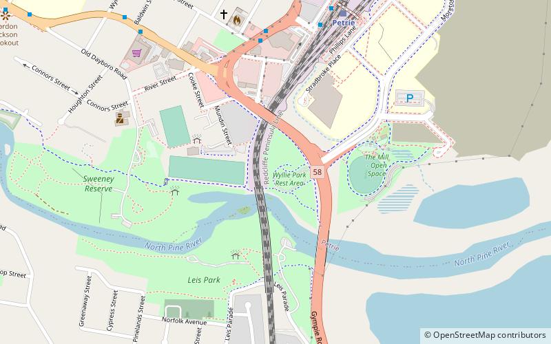
ParkSweeney's Reserve
8 min walk • Sweeney's Reserve is a heritage-listed park at Old Dayboro Road, Petrie, Moreton Bay Region, Queensland, Australia. It was added to the Queensland Heritage Register on 11 December 2008.
 Bridge
Hornibrook Bridge
137 min walk • Hornibrook Bridge is a heritage-listed mostly-demolished road bridge on the Hornibrook Highway over Hays Inlet at Bramble Bay from Brighton, City of Brisbane to Clontarf, Moreton Bay Region, Queensland, Australia.
 Dam
DamNorth Pine Dam
69 min walk • The North Pine Dam is a mass concrete gravity dam with earth-fill embankments on abutments with a gated spillway across the North Pine River that is located in the South East region of Queensland, Australia.
 Bridge
Houghton Highway
139 min walk • The Houghton Highway is a 2.74 km reinforced concrete viaduct, the second bridge to be built across Hays Inlet at Bramble Bay connecting the cities of Redcliffe and Brisbane in Queensland, Australia.
 Cemetery
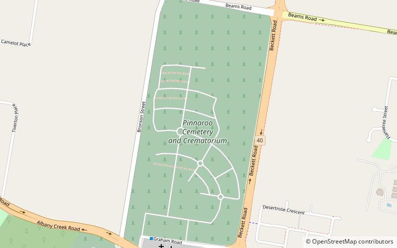
Pinnaroo Cemetery and Crematorium, Brisbane
135 min walk • The Pinnaroo Cemetery and Crematorium is a cemetery and crematorium located at Graham Road, Bridgeman Downs, Brisbane, Queensland, Australia. It is operated by the City of Brisbane.
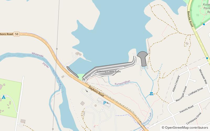 Lake, Dam
Sideling Creek Dam
49 min walk • The Sideling Creek Dam is an earth-fill embankment dam with an un-gated spillway across the Sideling Creek in Kurwongbah, Moreton Bay Region, Queensland, Australia.
 Church
North Pine Presbyterian Church
47 min walk • North Pine Presbyterian Church is a heritage-listed church at Dayboro Road, Whiteside, Moreton Bay Region, Queensland, Australia. It was built from 1883 to 1884. It was added to the Queensland Heritage Register on 21 October 1992.
 Tree
TreeHoop Pines, Brisbane
84 min walk • The Hoop Pines are a heritage-listed pair of trees at 34 Strathpine Road, Bald Hills, City of Brisbane, Queensland, Australia. They were added to the Queensland Heritage Register on 22 February 2002.


