St Patrick's Church, Brisbane
Map

Map

Facts and practical information
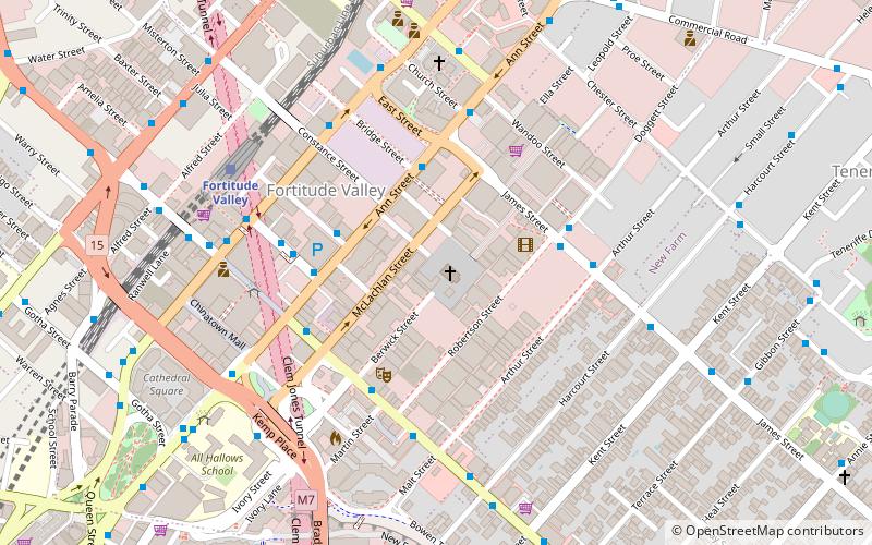
St Patricks Church is a heritage-listed Roman Catholic church at 58 Morgan Street, Fortitude Valley, City of Brisbane, Queensland, Australia. It was designed by Andrea Giovanni Stombuco and built from 1880 to 1882 by John Arthur Manis O'Keefe. It was added to the Queensland Heritage Register on 21 October 1992. ()
Coordinates: 27°27'28"S, 153°2'17"E
Day trips
St Patrick's Church – popular in the area (distance from the attraction)
Nearby attractions include: Fortitude Valley, Story Bridge, McWhirters, Brunswick Street Mall.
Frequently Asked Questions (FAQ)
Which popular attractions are close to St Patrick's Church?
Nearby attractions include Judith Wright Arts Centre, Brisbane (4 min walk), Fortitude Valley, Brisbane (5 min walk), Fortitude Valley Primitive Methodist Church, Brisbane (6 min walk), Holy Trinity Church, Brisbane (7 min walk).
How to get to St Patrick's Church by public transport?
The nearest stations to St Patrick's Church:
Bus
Train
Ferry
Bus
- Ann Street at Bridge Street, stop 5 • Lines: 470 (4 min walk)
- James Street near Robertson Street stop 8a • Lines: 470 (4 min walk)
Train
- Fortitude Valley (8 min walk)
- Exhibition (18 min walk)
Ferry
- Holman Street Ferry Terminal • Lines: Chop-400, Xrvr-400 (16 min walk)
- Teneriffe Ferry Terminal (21 min walk)


