The Tivoli, Brisbane
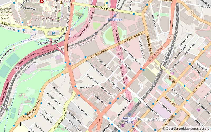
Map

Map

Facts and practical information
Coordinates: 27°27'9"S, 153°1'55"E
Day trips
The Tivoli – popular in the area (distance from the attraction)
Nearby attractions include: Fortitude Valley, McWhirters, Gasworks Plaza, Brunswick Street Mall.
Frequently Asked Questions (FAQ)
Which popular attractions are close to The Tivoli?
Nearby attractions include Old Museum Building, Brisbane (4 min walk), Bowen Park, Brisbane (8 min walk), Fortitude Valley, Brisbane (10 min walk), Holy Trinity Parish Hall, Brisbane (10 min walk).
How to get to The Tivoli by public transport?
The nearest stations to The Tivoli:
Train
Bus
Ferry
Train
- Exhibition (6 min walk)
- Fortitude Valley (7 min walk)
Bus
- Brunswick Street Stop 212 • Lines: N339 (8 min walk)
- Wickham Street at Bridge Street stop 5 • Lines: 470 (8 min walk)
Ferry
- Holman Street Ferry Terminal • Lines: Chop-400, Xrvr-400 (24 min walk)
- Teneriffe Ferry Terminal (28 min walk)


