Mount Allyn
Map

Map

Facts and practical information
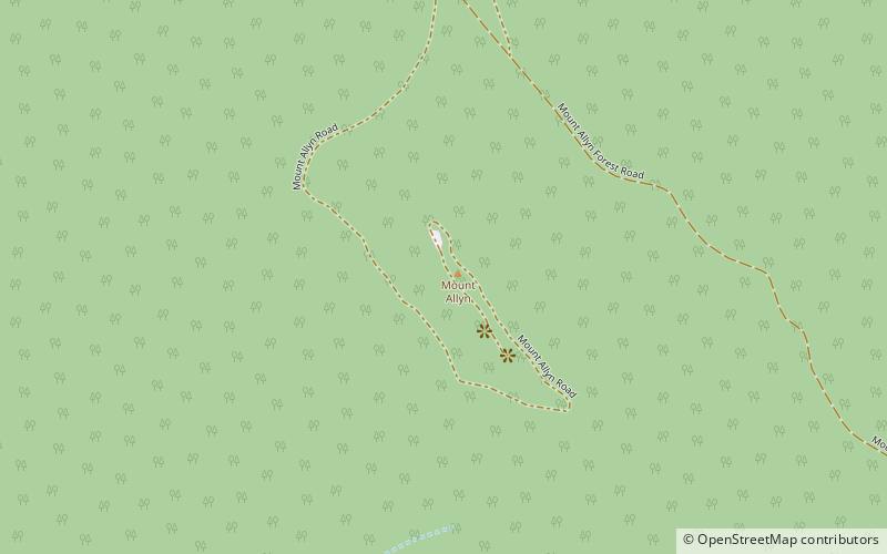
Mount Allyn is a mountain with an elevation of 1,125 metres AHD that is part of the Allyn Range, located within the Chichester State Forest, in the Upper Hunter region of New South Wales, Australia. Mount Allyn is located about 8 kilometres south southwest of Careys Peak and about 50 kilometres northeast of Muswellbrook. ()
Elevation: 3691 ftCoordinates: 32°7'31"S, 151°25'44"E
Location
New South Wales
ContactAdd
Social media
Add
Day trips
Mount Allyn – popular in the area (distance from the attraction)
Nearby attractions include: Burraga Swamp, Mount Cabrebald, Liverpool Range, Careys Peak.


