Liverpool Range, Barrington Tops National Park

Gallery (1)
Map
Map
Facts and practical information
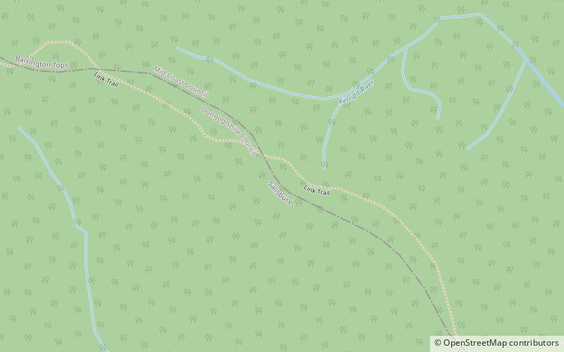
The Liverpool Range is a mountain range and a lava-field province in New South Wales, Australia. ()
Alternative names: Maximum elevation: 328084 ftElevation: 4265 ftCoordinates: 32°3'12"S, 151°29'35"E
Address
Barrington Tops National Park
ContactAdd
Social media
Add
Day trips


