Careys Peak, Barrington Tops National Park
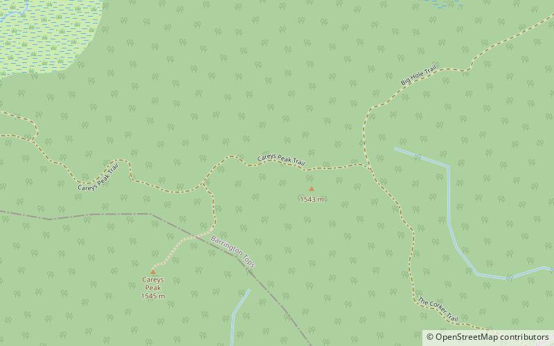
Map

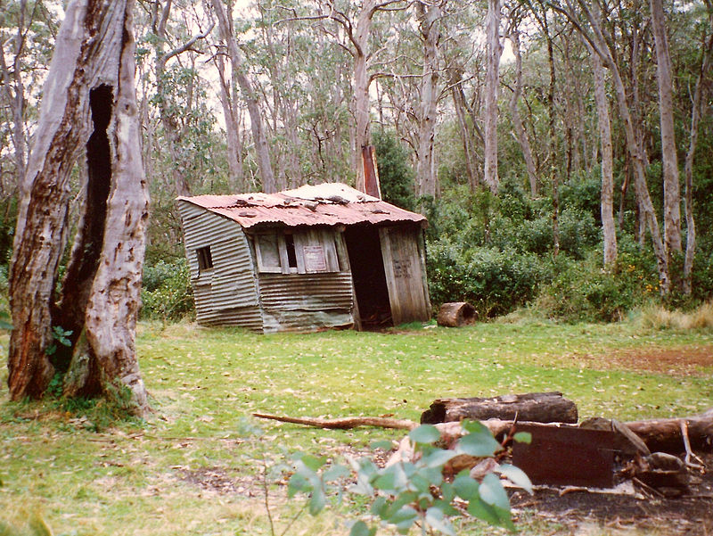
Gallery

Facts and practical information
Careys Peak is a peak in the Williams Range, part of the Mount Royal Range, located in the Upper Hunter region of New South Wales, Australia. At 1,544 metres above sea level, it is one of the higher points in Barrington Tops National Park, some 200 kilometres north of Sydney. The peak is at the edge of the Barrington Tops plateau, within the declared wilderness of the World Heritage Gondwana Rainforests of Australia. ()
Elevation: 5066 ftCoordinates: 32°3'3"S, 151°27'32"E
Address
Barrington Tops National Park
ContactAdd
Social media
Add
Day trips
Careys Peak – popular in the area (distance from the attraction)
Nearby attractions include: Burraga Swamp, Mount Allyn, Liverpool Range, Brumlow Top.


