Indooroopilly Island Conservation Park, Brisbane
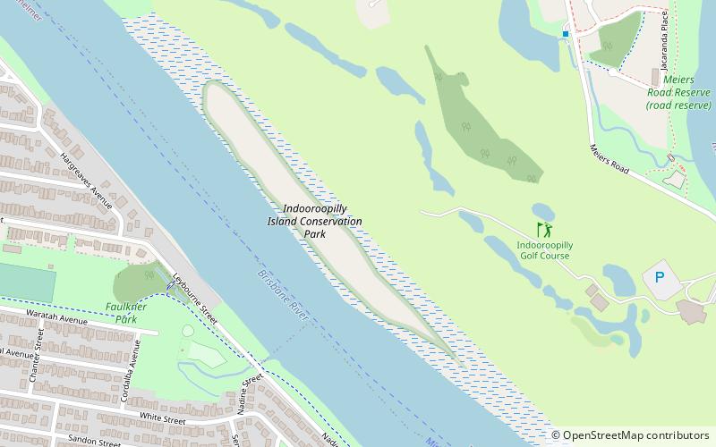
Map

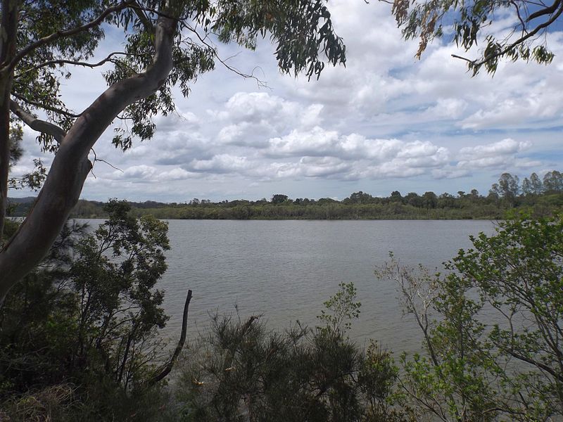
Gallery

Facts and practical information
The Indooroopilly Island Conservation Park is a protected conservation park that is located on an island in the Brisbane River, in Brisbane, Queensland, Australia. The 6.34-hectare island park is the site of one of Australia's largest flying fox colonies, located 7 kilometres west of the Brisbane central business district near the suburb of Indooroopilly. ()
Day trips
Indooroopilly Island Conservation Park – popular in the area (distance from the attraction)
Nearby attractions include: Lone Pine Koala Sanctuary, Indooroopilly Shopping Centre, Thomas Park Bougainvillea Gardens, Queensland Tennis Centre.
Frequently Asked Questions (FAQ)
Which popular attractions are close to Indooroopilly Island Conservation Park?
Nearby attractions include Thomas Park Bougainvillea Gardens, Brisbane (13 min walk), Graceville Uniting Church, Brisbane (19 min walk), St Peters Lutheran College Chapel, Brisbane (22 min walk), Graceville Memorial Park, Brisbane (23 min walk).
How to get to Indooroopilly Island Conservation Park by public transport?
The nearest stations to Indooroopilly Island Conservation Park:
Train
Bus
Train
- Graceville (24 min walk)
- Chelmer (28 min walk)
Bus
- Boomerang Road W at St Lucia South near Hawken Drive • Lines: 412 (37 min walk)
- Indooroopilly Shopping Centre station, platform A • Lines: 444, 460 (39 min walk)


