ACDC Lane, Melbourne
Map
Gallery
Facts and practical information
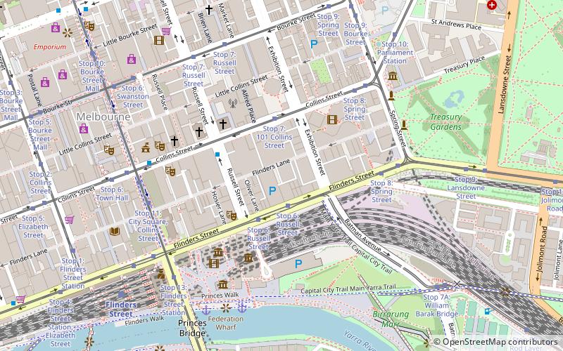
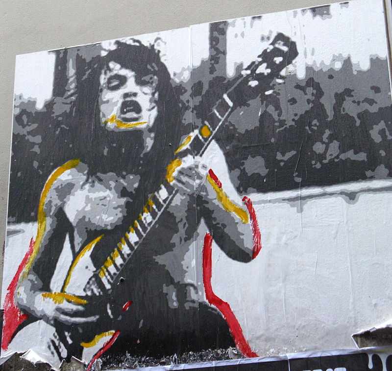
AC/DC Lane is a laneway in the central business district of Melbourne, Australia. A short and narrow street running off Flinders Lane, it runs roughly north–south in between Exhibition Street and Russell Street. The lane is named as a tribute to the famous Australian hard rock band AC/DC. ()
Address
City of Melbourne (Melbourne CBD)Melbourne
ContactAdd
Social media
Add
Day trips
ACDC Lane – popular in the area (distance from the attraction)
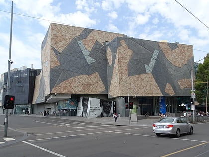
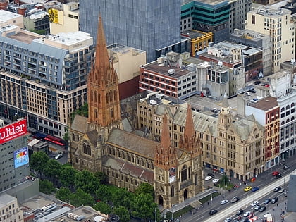
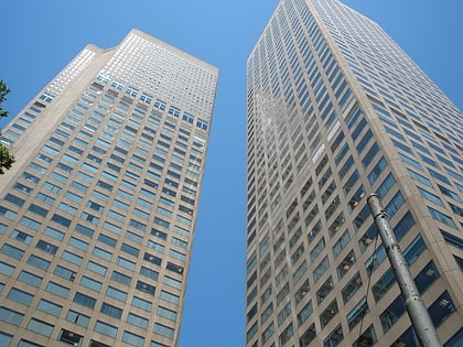
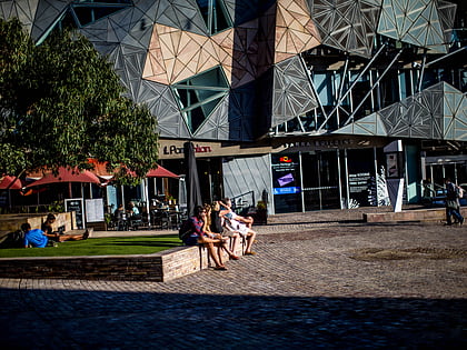
Nearby attractions include: ACMI, Federation Square, St Paul's Cathedral, Collins Place.
Frequently Asked Questions (FAQ)
Which popular attractions are close to ACDC Lane?
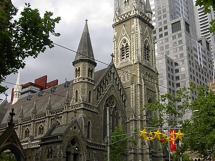
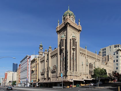
Nearby attractions include 101 Collins Street, Melbourne (2 min walk), fortyfivedownstairs, Melbourne (4 min walk), The Forum, Melbourne (4 min walk), St Michael's Uniting Church, Melbourne (4 min walk).
How to get to ACDC Lane by public transport?
The nearest stations to ACDC Lane:
Tram
Train
Bus
Tram
- Stop 6: Russell Street • Lines: 35, 70, 70d, 75 (2 min walk)
- Stop 7: 101 Collins Street • Lines: 109, 109d, 11, 12, 12d, 48, 48d (3 min walk)
Train
- Flinders Street (7 min walk)
- Parliament (9 min walk)
Bus
- Exhibition Street/Lonsdale Street • Lines: 250, 251, 303, 350 (10 min walk)
- Arts Centre • Lines: 109 (11 min walk)

 Melbourne Trams
 Victoria Trains