Bronte Beach, Sydney
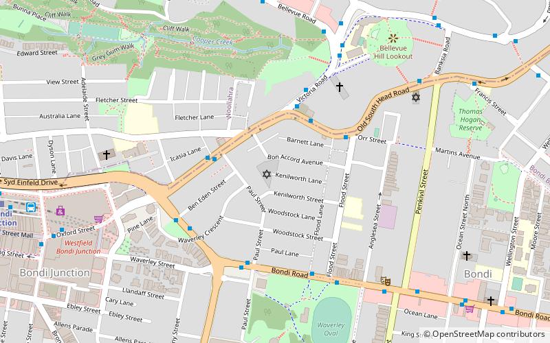
Map
Gallery
Facts and practical information
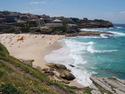
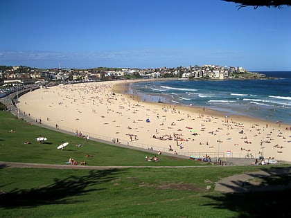
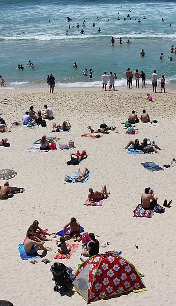
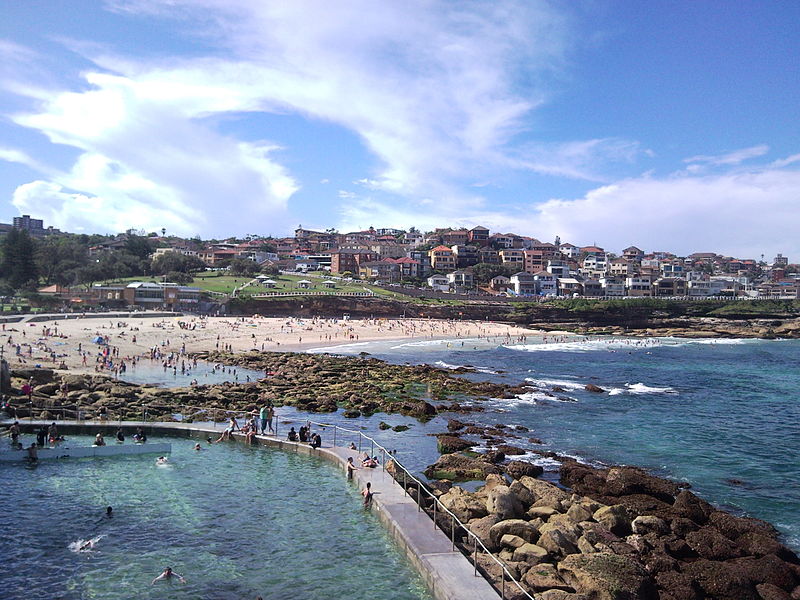
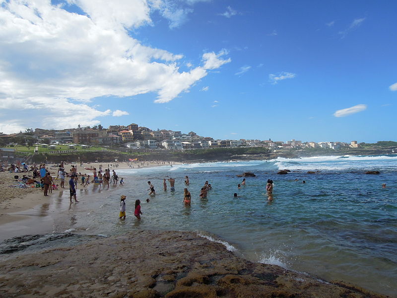
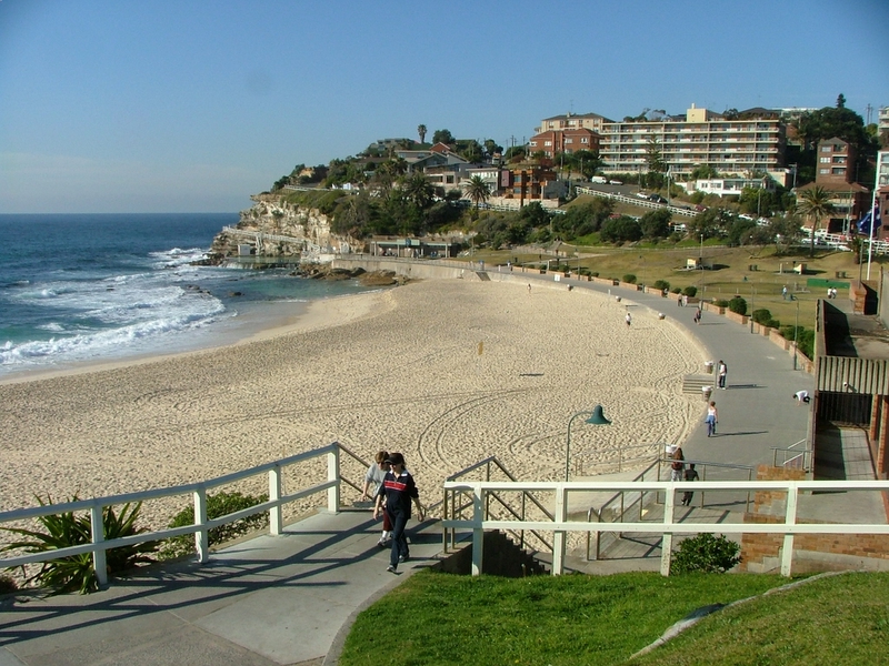
Bronte Beach is a small but popular recreational beach in the Eastern Suburbs of Sydney, Australia. It is a division of the LGA of Waverley Council. Bronte Beach is 2 kilometres south of Bondi Beach and north of the much larger Coogee Beach. ()
Coordinates: 33°54'13"S, 151°16'5"E
Day trips
Bronte Beach – popular in the area (distance from the attraction)
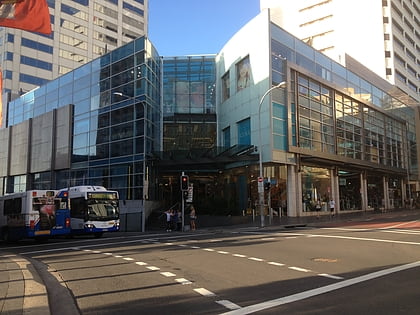
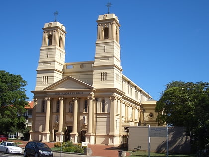
Nearby attractions include: Westfield Bondi Junction, Waverley Cemetery, Mary Immaculate Catholic Church, Eastgate Bondi Junction.
Frequently Asked Questions (FAQ)
Which popular attractions are close to Bronte Beach?
Nearby attractions include Tamarama Beach, Sydney (7 min walk), Bronte House, Sydney (7 min walk), Little Boy Lost Sculpture, Sydney (7 min walk), Waverley Cemetery, Sydney (10 min walk).
How to get to Bronte Beach by public transport?
The nearest stations to Bronte Beach:
Bus
Train
Bus
- Bronte Beach Terminus, Bus Intg • Lines: 379 (3 min walk)
- Bronte Beach Terminus (3 min walk)
Train
- Bondi Junction (36 min walk)



 Sydney Trains
 Sydney Light Rail
 Sydney Ferries