Little Nerang Dam

Map
Facts and practical information
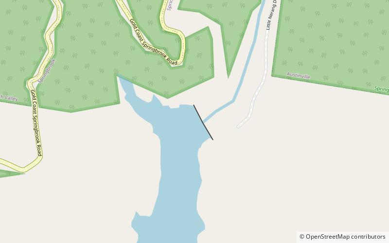
The Little Nerang Dam is a concrete gravity dam with an un-gated spillway across the Little Nerang Creek that is located in the South East region of Queensland, Australia. The main purpose of the dam is for potable water supply of the Gold Coast region. The impounded reservoir is also called Little Nerang Dam. The dam was closed to the public in 2013 due to safety concerns. ()
Opened: 1962 (64 years ago)Length: 659 ftHeight: 144 ftReservoir area: 123.55 acres (0.1931 mi²)Coordinates: 28°8'37"S, 153°17'6"E
Day trips
Little Nerang Dam – popular in the area (distance from the attraction)
Nearby attractions include: Goomoolahra Falls, Mudgeeraba, Purling Brook Falls, Tallebudgera Creek Dam.


