Nimmel Range, Springbrook National Park

Map
Facts and practical information
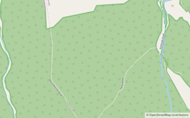
The Nimmel Range is a small mountain range inside the Gold Coast Hinterland on the Gold Coast, Queensland, Australia. Its most prominent feature is the 489 metre peak of Mount Nimmel. It lies at co-ordinates latitude: 28° 10' 60" S, longitude: 153° 18' 0" E and is 20 kilometres away from Carrara, an inland suburb of the Gold Coast near Nerang. It was the western border of the Austinville banana plantation before the settlement was all but abandoned in the 1930s. ()
Maximum elevation: 1604 ftElevation: 1604 ftCoordinates: 28°10'60"S, 153°18'0"E
Address
AustinvilleSpringbrook National Park
ContactAdd
Social media
Add
Day trips
Nimmel Range – popular in the area (distance from the attraction)
Nearby attractions include: Goomoolahra Falls, Purling Brook Falls, Tallebudgera Creek Dam, Numinbah Nature Reserve.


