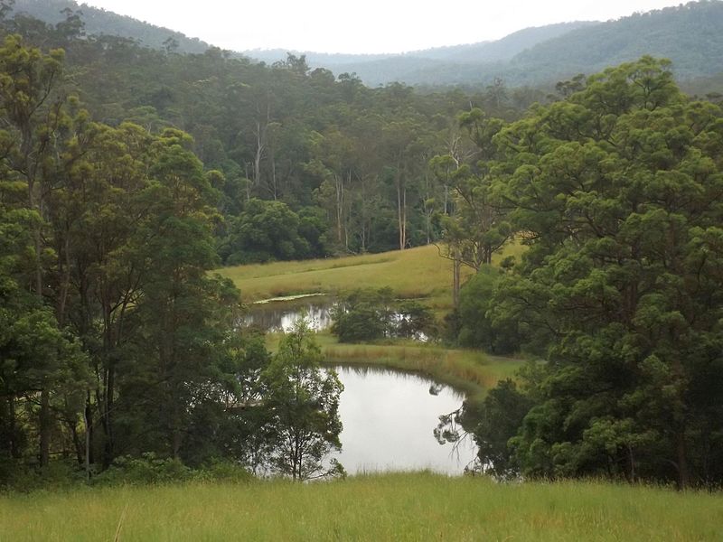
Numinbah Valley

Gallery (4)
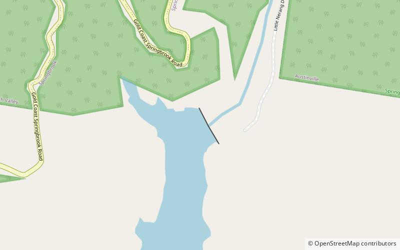
Map

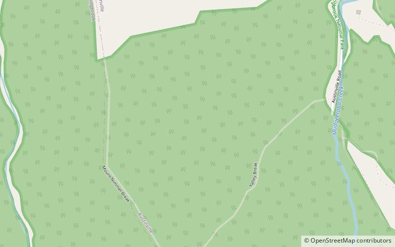
Map
Gallery
Facts and practical information
Numinbah Valley is a rural locality in the City of Gold Coast, Queensland, Australia. In the 2016 census, Numinbah Valley had a population of 218 people. ()
Established: 1880 (146 years ago)Coordinates: 28°8'23"S, 153°16'8"E
Location
Queensland
ContactAdd
Social media
Add
Day trips