Bendigo TAFE, Bendigo
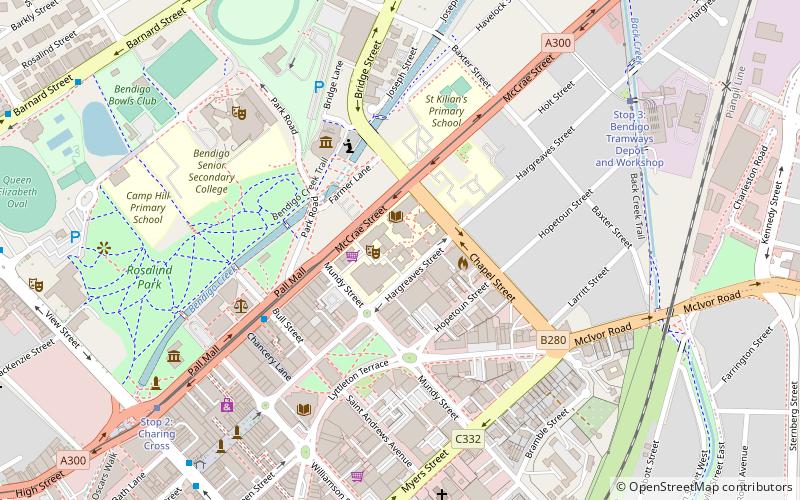
Map

Map

Facts and practical information
Bendigo TAFE is a regional provider of vocational education, training and assessment services, located in northern and central Victoria, Australia. The institute has been in operation in various guises since 1854. The institute was known as the Loddon Campaspe Institute of TAFE from 1987 to 1990, Bendigo Regional Institute of TAFE from 1990 to 2009, before becoming Bendigo TAFE in 2009. ()
Established: 1987 (39 years ago)Coordinates: 36°45'24"S, 144°17'2"E
Day trips
Bendigo TAFE – popular in the area (distance from the attraction)
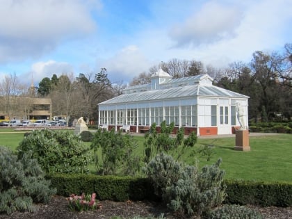
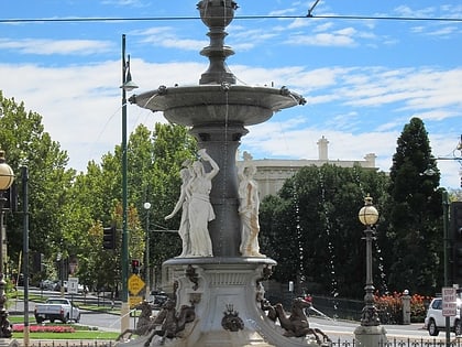
Nearby attractions include: Sacred Heart Cathedral, Rosalind Park, Central Deborah Gold Mine, Golden Dragon Museum.
Frequently Asked Questions (FAQ)
Which popular attractions are close to Bendigo TAFE?
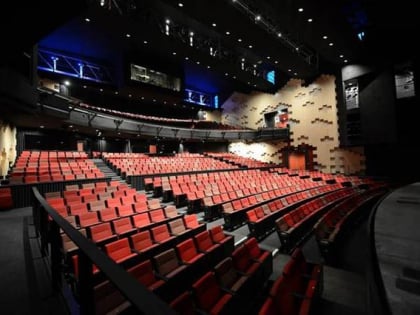
Nearby attractions include Bendigo Town Hall, Bendigo (5 min walk), Golden Dragon Museum, Bendigo (5 min walk), Ulumbarra Theatre Bendigo, Bendigo (6 min walk), Rosalind Park, Bendigo (8 min walk).
How to get to Bendigo TAFE by public transport?
The nearest stations to Bendigo TAFE:
Tram
Bus
Train
Tram
- Stop 2: Charing Cross • Lines: Bendigo Vintage Talking Tram Tour (9 min walk)
- Stop 4: Lake Weeroona • Lines: Bendigo Vintage Talking Tram Tour (16 min walk)
Bus
- Mitchell St Central - Bay A/Mitchell St • Lines: 53 (10 min walk)
- Bendigo Aquatic Centre • Lines: 50, 52, 63 (11 min walk)
Train
- Bendigo (16 min walk)


