Erskine Valley, Lord Howe Island
Map

Map

Facts and practical information
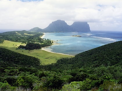
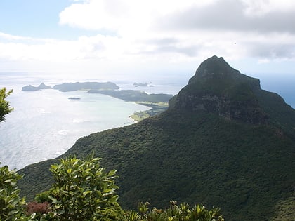
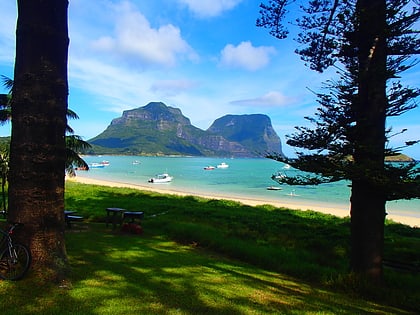
Erskine Valley is a small, steep-sided, forested valley, containing the perennial Erskine Creek with several small waterfalls. About one kilometre long and broad, it lies between Mounts Lidgbird and Gower, on the western side of the southern end of Australia’s subtropical Lord Howe Island in the Tasman Sea. The valley is traversed by the popular hiking track to the summit of Mount Gower. It was named after Thomas Erskine, Lord Chancellor of the United Kingdom from 1806 to 1807. ()
Coordinates: 31°34'40"S, 159°4'19"E
Address
Lord Howe Island
ContactAdd
Social media
Add
Day trips
Erskine Valley – popular in the area (distance from the attraction)
Nearby attractions include: Mount Gower, Mount Lidgbird, Lord Howe Island Marine Park, Wolf Rock.


