Mount Gower, Lord Howe Island
Map
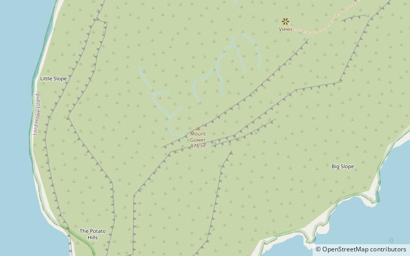
Map

Facts and practical information
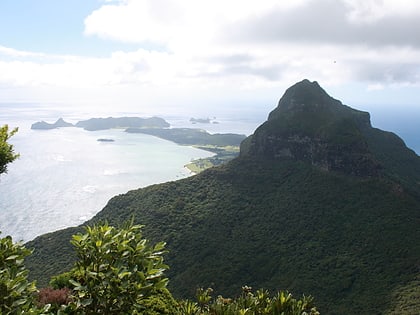
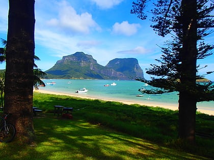
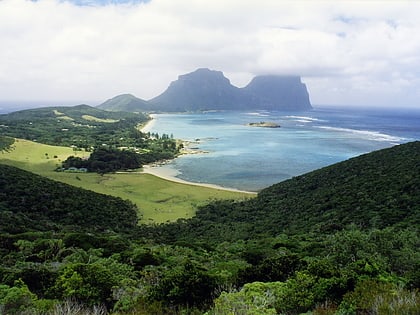
Mount Gower, is the highest mountain on Australia's subtropical Lord Howe Island in the Tasman Sea. With a height of 875 metres above sea level, and a relatively flat 27-hectare summit plateau, it stands at the southern end of Lord Howe, just south of the island's second highest peak, the 777-metre high Mount Lidgbird, from which it is separated by the saddle at the head of Erskine Valley. ()
Address
Lord Howe Island
ContactAdd
Social media
Add
Day trips
Mount Gower – popular in the area (distance from the attraction)
Nearby attractions include: Mount Lidgbird, Lord Howe Island Marine Park, Erskine Valley, Wolf Rock.

