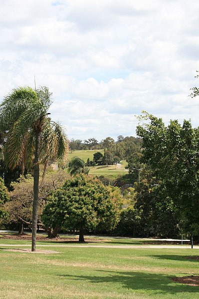
Victoria Park, Brisbane

Gallery (3)
Map
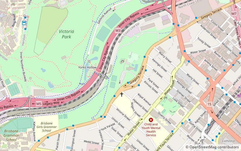
Map
Gallery
Facts and practical information
Victoria Park is a heritage-listed park at 454 Gregory Terrace, Spring Hill & Herston, City of Brisbane, Queensland, Australia. It was added to the Queensland Heritage Register on 3 December 2007. ()
Elevation: 105 ft a.s.l.Coordinates: 27°27'19"S, 153°1'30"E
Getting there by public transportation
Public transportation stops near this location
- Bus
- Train
- Ferry
 Bus
Bus
- Calculate routeWater Street Stop 186 near Dickens St 9 min walk
- Calculate routeFortescue Street Stop 185 near Boundary St 10 min walk
- Calculate routeHerston station, platform 1 10 min walk
- Calculate routeHerston station, platform 2 10 min walk
- Calculate routeFortitude Valley 14 min walk
- Calculate routeExhibition 16 min walk
- Calculate routeCentral 19 min walk
- Calculate routeRoma Street 20 min walk
- Calculate routeHolman Street Ferry Terminal 23 min walk
- Calculate routeEagle Street Pier Ferry Terminal 26 min walk
- Calculate routeThornton Street Ferry Terminal 32 min walk
- Calculate routeDockside Ferry Terminal 38 min walk
Day trips


Frequently Asked Questions (FAQ)
Which popular attractions are close to Victoria Park?
Nearby attractions include Inner City Bypass, Brisbane (5 min walk), Bedford Playground, Brisbane (6 min walk), Jan Manton Art, Brisbane (9 min walk), St Paul's Presbyterian Church Hall, Brisbane (10 min walk).
How to get to Victoria Park by public transport?
The nearest stations to Victoria Park:
Bus
Train
Ferry
Bus
- Water Street Stop 186 near Dickens St • Lines: P331 (9 min walk)
- Fortescue Street Stop 185 near Boundary St • Lines: P331 (10 min walk)
Train
- Fortitude Valley (14 min walk)
- Exhibition (16 min walk)
Ferry
- Holman Street Ferry Terminal • Lines: Chop-400, Xrvr-400 (23 min walk)
- Eagle Street Pier Ferry Terminal • Lines: Chop-400, Xrvr-400 (26 min walk)