John Whitton Bridge, Sydney

Gallery (2)
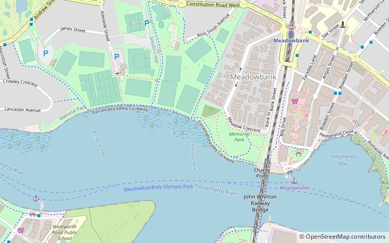
Map
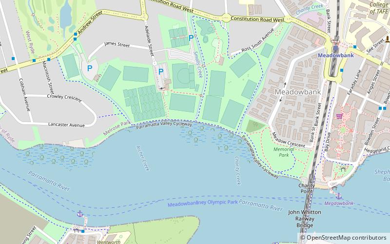
Map
Gallery
Facts and practical information
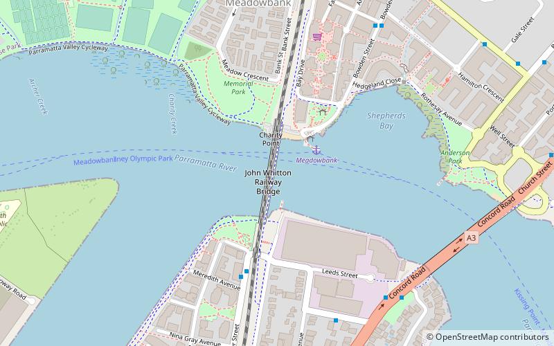
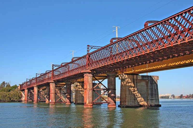
The John Whitton Bridge is a railway bridge that carries the Main Northern railway line across the Parramatta River, located between the Sydney suburbs of Rhodes and Meadowbank. ()
Opened: May 1980 (45 years ago)Coordinates: 33°49'19"S, 151°5'20"E
Getting there by public transportation
Public transportation stops near this location
- Bus
- Train
- Ferry
 Bus
Bus
- Calculate routeMeadowbank 3 min walk
- Calculate routeSydney Olympic Park 15 min walk
- Calculate routeKissing Point 26 min walk
- Calculate routeMeadowbank Wharf, Bowden St 3 min walk
- Calculate routeMeredith Ave 5 min walk
- Calculate routeAverill St 8 min walk
- Calculate routeRyde Bridge 8 min walk
- Calculate routeMeadowbank 11 min walk
- Calculate routeRhodes 16 min walk
- Calculate routeWest Ryde 27 min walk
Maps Sydney TrainsMaps
 Sydney Light RailMaps
 Sydney Ferries
Sydney TrainsMapsSydney Light RailMapsSydney FerriesDay trips


Frequently Asked Questions (FAQ)
Which popular attractions are close to John Whitton Bridge?
Nearby attractions include Charity Creek, Sydney (7 min walk), Ryde Bridge, Sydney (10 min walk), Smalls Creek, Sydney (10 min walk), Archer Creek, Sydney (13 min walk).
How to get to John Whitton Bridge by public transport?
The nearest stations to John Whitton Bridge:
Ferry
Bus
Train
Ferry
- Meadowbank • Lines: F3 (3 min walk)
- Sydney Olympic Park • Lines: F3 (15 min walk)
Bus
- Meadowbank Wharf, Bowden St • Lines: 518 (3 min walk)
- Meredith Ave • Lines: 458 (5 min walk)
Train
- Meadowbank (11 min walk)
- Rhodes (16 min walk)