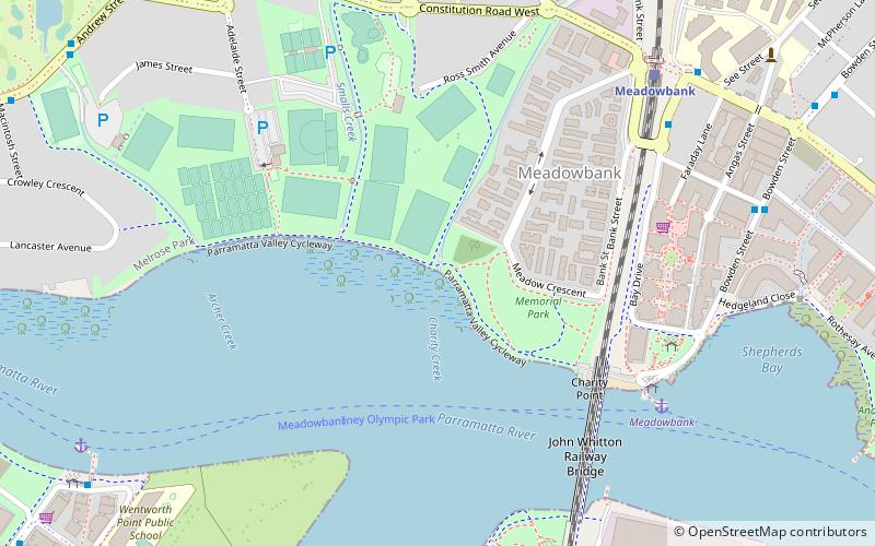
Smalls Creek, Sydney
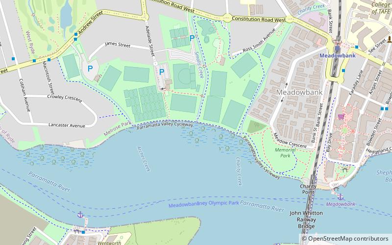
Map
Facts and practical information
Smalls Creek, a northern tributary of the Parramatta River, is a creek west of Sydney Harbour, located in Sydney, New South Wales, Australia. It joins the Parramatta River at Meadowbank Park, Meadowbank. ()
Coordinates: 33°49'7"S, 151°5'2"E
Address
Ryde (Meadowbank)Sydney
ContactAdd
Social media
Add
Getting there by public transportation
Public transportation stops near this location
- Bus
- Train
- Ferry
 Bus
Bus
- Calculate routeAdelaide St At Hibble St 10 min walk
- Calculate routeAndrew St Opp Meadowbank Park 10 min walk
- Calculate routeMeadowbank Wharf, Bowden St 10 min walk
- Calculate routeSydney Olympic Park Wharf 11 min walk
- Calculate routeSydney Olympic Park 10 min walk
- Calculate routeMeadowbank 11 min walk
- Calculate routeKissing Point 36 min walk
- Calculate routeMeadowbank 11 min walk
- Calculate routeRhodes 22 min walk
- Calculate routeWest Ryde 23 min walk
Maps Sydney TrainsMaps
 Sydney Light RailMaps
 Sydney Ferries
Sydney TrainsMapsSydney Light RailMapsSydney FerriesDay trips


Frequently Asked Questions (FAQ)
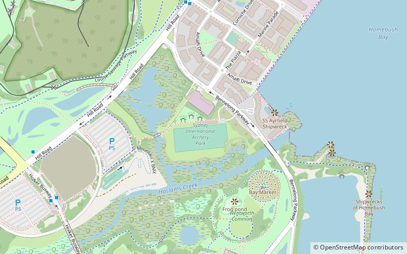
Which popular attractions are close to Smalls Creek?
Nearby attractions include Charity Creek, Sydney (3 min walk), Archer Creek, Sydney (5 min walk), John Whitton Bridge, Sydney (10 min walk), Bennelong Bridge, Sydney (16 min walk).
How to get to Smalls Creek by public transport?
The nearest stations to Smalls Creek:
Bus
Ferry
Train
Bus
- Adelaide St At Hibble St • Lines: 524 (10 min walk)
- Andrew St Opp Meadowbank Park • Lines: 524 (10 min walk)
Ferry
- Sydney Olympic Park • Lines: F3 (10 min walk)
- Meadowbank • Lines: F3 (11 min walk)
Train
- Meadowbank (11 min walk)
- Rhodes (22 min walk)