Iron Cove Bridge, Sydney
Map

Gallery

Facts and practical information
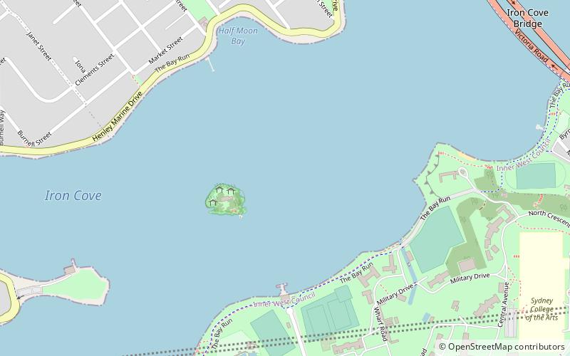
The Iron Cove Bridge is a heritage-listed road bridge that carries Victoria Road across Iron Cove, linking the Sydney suburbs of Drummoyne to Rozelle in the City of Canada Bay local government area of New South Wales, Australia. ()
Opened: July 1955 (70 years ago)Length: 1513 ftWidth: 45 ftCoordinates: 33°51'47"S, 151°9'18"E
Address
Sydney
ContactAdd
Social media
Add
Day trips
Iron Cove Bridge – popular in the area (distance from the attraction)
Nearby attractions include: Birkenhead Point Outlet Centre, Callan Park, Whites Creek, Sydney Bus Museum.
Frequently Asked Questions (FAQ)
Which popular attractions are close to Iron Cove Bridge?
Nearby attractions include Rodd Island, Sydney (4 min walk), Callan Park, Sydney (12 min walk), Drummoyne Reservoir, Sydney (14 min walk), Drummoyne, Sydney (16 min walk).
How to get to Iron Cove Bridge by public transport?
The nearest stations to Iron Cove Bridge:
Bus
Light rail
Bus
- Birkenhead Point • Lines: M52 (14 min walk)
- Terry St • Lines: M52 (17 min walk)
Light rail
- Leichhardt North • Lines: L1 (22 min walk)
- Lilyfield • Lines: L1 (25 min walk)

 Sydney Trains
 Sydney Light Rail
 Sydney Ferries


