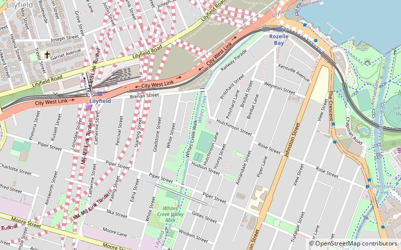
Whites Creek, Sydney
Map

Map

Facts and practical information
Whites Creek, formerly known as White's Creek, was once a natural waterway that was concreted to improve sanitation. The creek is now a heritage–listed artificial waterway located in the inner–west region of Sydney, New South Wales, Australia. ()
Coordinates: 33°52'31"S, 151°10'10"E
Address
Inner West (Annandale)Sydney
ContactAdd
Social media
Add
Day trips
Whites Creek – popular in the area (distance from the attraction)
Nearby attractions include: Rozelle Tram Depot, Anzac Bridge, Norton Plaza, Sze Yup Temple.
Frequently Asked Questions (FAQ)
Which popular attractions are close to Whites Creek?
Nearby attractions include White's Creek Aqueduct, Sydney (5 min walk), Highroyd, Sydney (6 min walk), The Abbey, Sydney (11 min walk), Glebe and Wentworth Park railway viaducts, Sydney (13 min walk).
How to get to Whites Creek by public transport?
The nearest stations to Whites Creek:
Light rail
Bus
Ferry
Light rail
- Lilyfield • Lines: L1 (7 min walk)
- Rozelle Bay • Lines: L1 (8 min walk)
Bus
- The Crescent opp Trafalgar St • Lines: 433 (9 min walk)
Ferry
- Blackwattle Bay Wharf (25 min walk)

 Sydney Trains
 Sydney Light Rail
 Sydney Ferries


