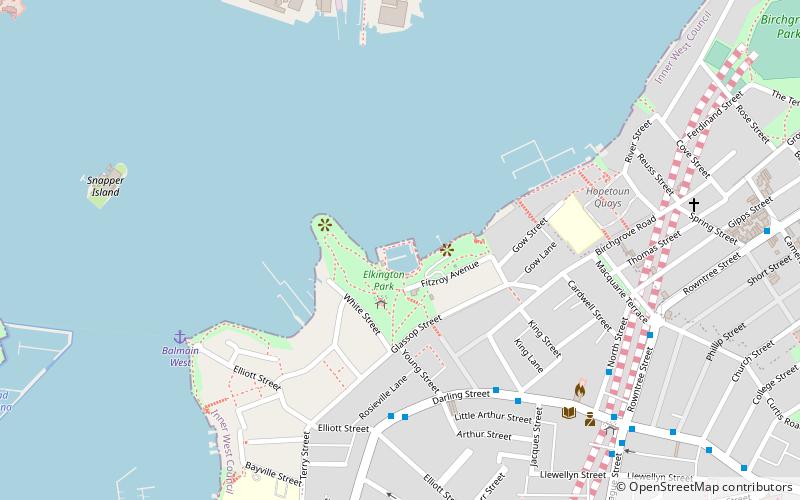
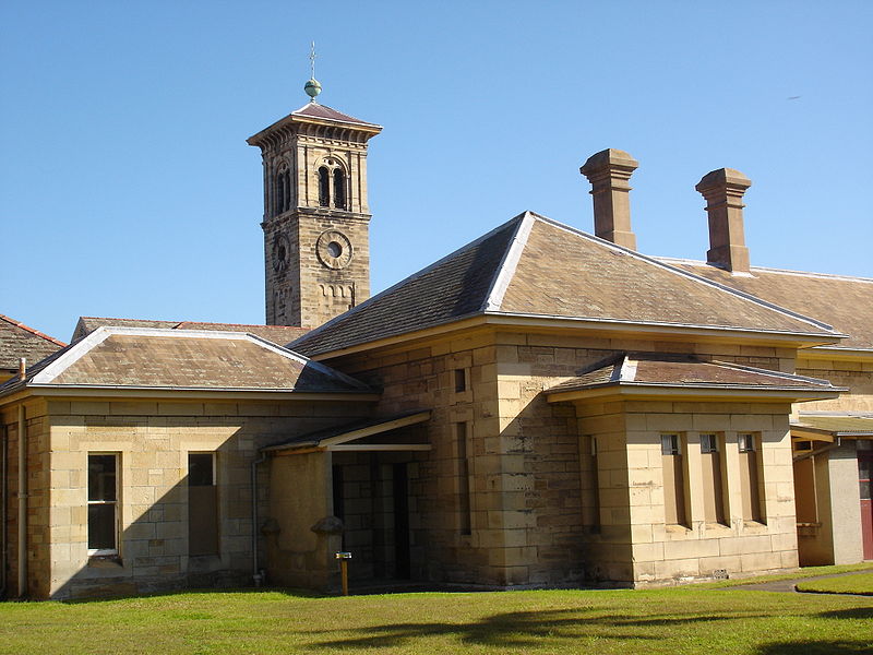
Callan Park, Sydney
Map
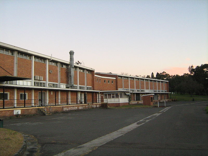
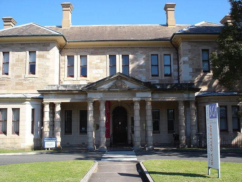
Gallery
Facts and practical information
Elevation: 95 ft a.s.l.Coordinates: 33°52'1"S, 151°9'40"E
Address
Waterfront DrInner West (Lilyfield)Sydney 2039
ContactAdd
Social media
Add
Day trips
Callan Park – popular in the area (distance from the attraction)
Nearby attractions include: Birkenhead Point Outlet Centre, Rozelle Tram Depot, Sze Yup Temple, Whites Creek.
Frequently Asked Questions (FAQ)
Which popular attractions are close to Callan Park?
Nearby attractions include Iron Cove Bridge, Sydney (12 min walk), Rodd Island, Sydney (14 min walk), Sydney Bus Museum, Sydney (18 min walk), Hawthorne Canal, Sydney (18 min walk).
How to get to Callan Park by public transport?
The nearest stations to Callan Park:
Bus
Light rail
Bus
- Terry St • Lines: M52 (13 min walk)
- Rozelle Public School, Darling St • Lines: 433 (15 min walk)
Light rail
- Lilyfield • Lines: L1 (15 min walk)
- Leichhardt North • Lines: L1 (18 min walk)



 Sydney Trains
 Sydney Light Rail
 Sydney Ferries


