Ferndale Park, Sydney
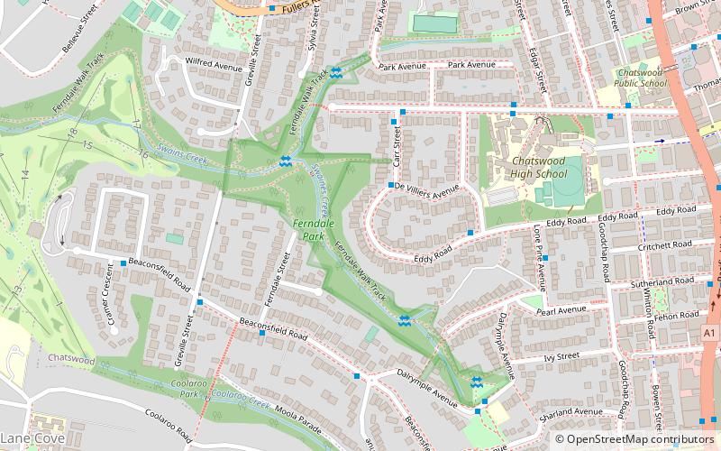
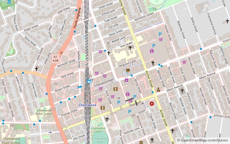
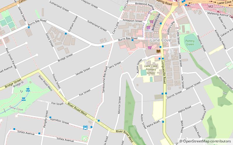
Map

Map

Facts and practical information
Coordinates: 33°48'4"S, 151°10'16"E
Day trips
Ferndale Park – popular in the area (distance from the attraction)
Nearby attractions include: Chatswood Mall, Westfield Chatswood, Chatswood Chase, Chatswood Interchange.
Frequently Asked Questions (FAQ)
Which popular attractions are close to Ferndale Park?
Nearby attractions include Chatswood South Uniting Church, Sydney (15 min walk), Chatswood Reservoirs No. 1 and No. 2, Sydney (16 min walk), Zenith Centre, Sydney (17 min walk), Chatswood, Sydney (17 min walk).
How to get to Ferndale Park by public transport?
The nearest stations to Ferndale Park:
Bus
Metro
Train
Bus
- Davies St • Lines: 259 (9 min walk)
- Anglo St • Lines: 259 (12 min walk)
Metro
- Chatswood • Lines: Sydney Metro Northwest (16 min walk)
Train
- Artarmon (25 min walk)
- Roseville (31 min walk)

 Sydney Trains
 Sydney Light Rail
 Sydney Ferries


