Chatswood South Uniting Church, Sydney
Map

Gallery

Facts and practical information
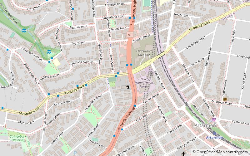
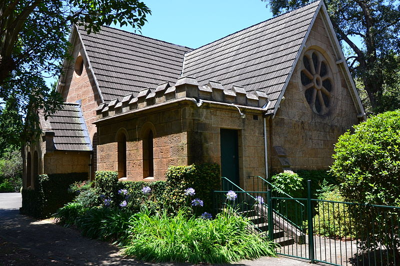
The Chatswood South Uniting Church is a heritage-listed Uniting church at 518 Pacific Highway, Lane Cove North in the Lane Cove Council local government area of New South Wales, Australia. It was designed by Thomas Rowe and possibly a Mr Morrow also and built by Bryson, Leet, Johnson & Montgomery. It is also known as Chatswood South Uniting Church and Cemetery and Chatswood South Methodist Church. It was added to the New South Wales State Heritage Register on 2 April 1999. The property was sold in 2017 for redevelopment. ()
Coordinates: 33°48'21"S, 151°10'44"E
Day trips
Chatswood South Uniting Church – popular in the area (distance from the attraction)
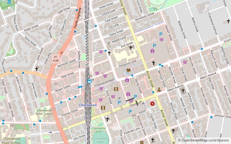
Nearby attractions include: Chatswood Mall, Westfield Chatswood, Chatswood Chase, Chatswood Interchange.
Frequently Asked Questions (FAQ)
Which popular attractions are close to Chatswood South Uniting Church?
Nearby attractions include Chatswood Reservoirs No. 1 and No. 2, Sydney (2 min walk), Ferndale Park, Sydney (15 min walk), Gore Hill Freeway, Sydney (17 min walk), Chatswood, Sydney (17 min walk).
How to get to Chatswood South Uniting Church by public transport?
The nearest stations to Chatswood South Uniting Church:
Train
Bus
Metro
Train
- Artarmon (11 min walk)
- St Leonards (37 min walk)
Bus
- Stand F, Chatswood Station, Victoria Ave • Lines: 200 (15 min walk)
- Stand G, Chatswood Station, Victoria Ave • Lines: 545 (15 min walk)
Metro
- Chatswood • Lines: Sydney Metro Northwest (15 min walk)

 Sydney Trains
 Sydney Light Rail
 Sydney Ferries


