Gore Creek, Sydney
Map
Facts and practical information
Gore Creek, an urban watercourse that is part of the Parramatta River catchment, is located in Northern Suburbs region of Sydney, Australia. ()
Coordinates: 33°48'60"S, 151°10'0"E
Address
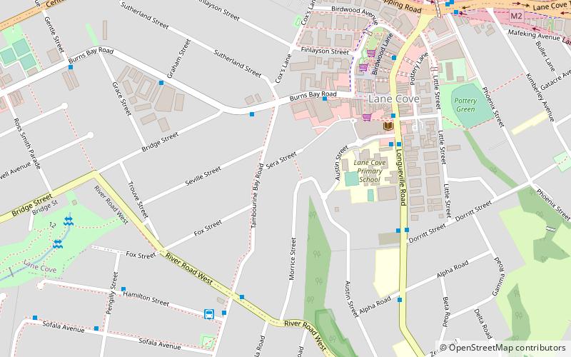
Lane CoveSydney
ContactAdd
Social media
Add
Getting there by public transportation
Public transportation stops near this location
- Bus
- Train
- Ferry
 Bus
Bus
- Calculate routeRiverview Terminus 7 min walk
- Calculate routeCox's Lane 10 min walk
- Calculate routeCentennial Ave 11 min walk
- Calculate routeStand B, Lane Cove Interchange 11 min walk
- Calculate routeRiverview College Wharf 29 min walk
- Calculate routeNorthwood Wharf 34 min walk
- Calculate routeArtarmon 31 min walk
Maps Sydney TrainsMaps
 Sydney Light RailMaps
 Sydney Ferries
Sydney TrainsMapsSydney Light RailMapsSydney FerriesDay trips


Frequently Asked Questions (FAQ)
Which popular attractions are close to Gore Creek?
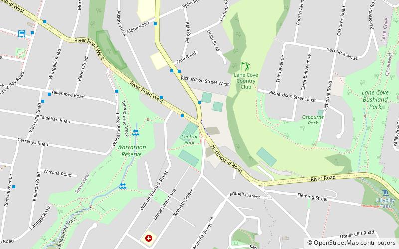
Nearby attractions include Blaxlands Corner, Upper North Shore (15 min walk), Lane Cove Bushland Park, Sydney (22 min walk).
How to get to Gore Creek by public transport?
The nearest stations to Gore Creek:
Bus
Ferry
Train
Bus
- Riverview Terminus (7 min walk)
- Cox's Lane • Lines: 290 (10 min walk)
Ferry
- Riverview College Wharf (29 min walk)
- Northwood Wharf (34 min walk)
Train
- Artarmon (31 min walk)