Glebe and Wentworth Park railway viaducts, Sydney

Gallery (1)
Map
Map
Facts and practical information
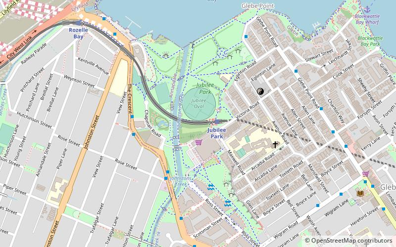
The Glebe and Wentworth Park railway viaducts are a series of two adjacent heritage-listed railway bridges and arch viaducts that carry the Inner West Light Rail across Wentworth Park, Jubilee Park, and Johnstons Creek in the inner western Sydney suburb of Glebe in the City of Sydney local government area of New South Wales, Australia. They were designed by the New South Wales Government Railways and built from 1892 to 1922 by day labour. They are also known as Wentworth Park Viaduct, Jubilee Park Viaduct and Glebe Viaducts. The viaducts were added to the New South Wales State Heritage Register on 2 April 1999. ()
Coordinates: 33°52'32"S, 151°10'40"E
Address
Inner West (Forest Lodge)Sydney
ContactAdd
Social media
Add
Getting there by public transportation
Public transportation stops near this location
- Bus
- Light rail
- Train
- Ferry
 Bus
Bus
- Calculate routeJubilee Park 2 min walk
- Calculate routeRozelle Bay 10 min walk
- Calculate routeGlebe 15 min walk
- Calculate routeLilyfield 19 min walk
- Calculate routeThe Crescent opp Nelson St 4 min walk
- Calculate routeBlackwattle Bay Wharf 13 min walk
- Calculate routeRedfern 42 min walk
Maps Sydney TrainsMaps
 Sydney Light RailMaps
 Sydney Ferries
Sydney TrainsMapsSydney Light RailMapsSydney FerriesDay trips


Frequently Asked Questions (FAQ)
Which popular attractions are close to Glebe and Wentworth Park railway viaducts?
Nearby attractions include Rozelle Tram Depot, Sydney (2 min walk), Sze Yup Temple, Sydney (5 min walk), Highroyd, Sydney (7 min walk), Glebe Point Road, Sydney (8 min walk).
How to get to Glebe and Wentworth Park railway viaducts by public transport?
The nearest stations to Glebe and Wentworth Park railway viaducts:
Light rail
Bus
Ferry
Train
Light rail
- Jubilee Park • Lines: L1 (2 min walk)
- Rozelle Bay • Lines: L1 (10 min walk)
Bus
- The Crescent opp Nelson St • Lines: 433 (4 min walk)
Ferry
- Blackwattle Bay Wharf (13 min walk)
Train
- Redfern (42 min walk)