Geelong Botanic Gardens, Geelong
Facts and practical information
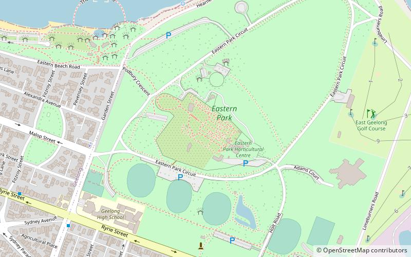
Nestled in the heart of Geelong, the Geelong Botanic Gardens offer a lush oasis of tranquility and natural beauty. Established in the 19th century, these historic gardens are a living museum, showcasing a diverse collection of plant species from around the world.
The gardens are thoughtfully designed to provide visitors with a serene environment for relaxation and contemplation. The rich tapestry of colors and textures changes with the seasons, offering a unique experience with each visit. Meandering pathways lead through the various garden sections, including the 21st Century Garden, which features contemporary and drought-tolerant plants.
One of the highlights of the Geelong Botanic Gardens is the Rose Garden, where the air is perfumed with the scent of blooming roses. The heritage trees, some of which are over a hundred years old, stand as silent witnesses to the history and growth of the gardens. These majestic specimens provide shade and a sense of continuity.
Education is at the forefront of the gardens' mission, with informative signage and guided tours available to enrich the visitor experience. The gardens also host workshops and events throughout the year, providing opportunities for the community to engage with and learn about horticulture and conservation.
With its idyllic setting, the Geelong Botanic Gardens are not only a haven for plant lovers but also a popular spot for picnics, photography, and family outings. The Teahouse on site offers refreshments, making it a perfect stop to unwind after a leisurely stroll through the gardens.
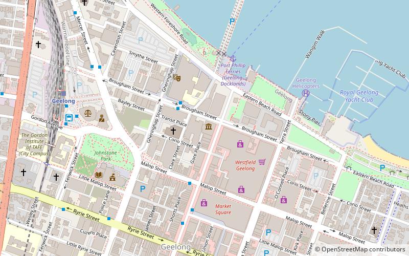
- Bus
- Train
 Bus
Bus
- Calculate routeMoorabool Street Bus Interchange 25 min walk
- Calculate routeMoorabool St/Malop St 25 min walk
- Calculate routeDeakin University City Campus/Brougham Street 27 min walk
- Calculate routeMcKillop Street/Moorabool Street 29 min walk
- Calculate routeSouth Geelong 30 min walk


Frequently Asked Questions (FAQ)
Which popular attractions are close to Geelong Botanic Gardens?
How to get to Geelong Botanic Gardens by public transport?
Bus
- Moorabool Street Bus Interchange • Lines: 1, 43 (25 min walk)
- Moorabool St/Malop St • Lines: 19, 5048 (25 min walk)
Train
- South Geelong (30 min walk)