Hindu Temple, Helensburgh

Gallery (1)
Map
Map
Facts and practical information
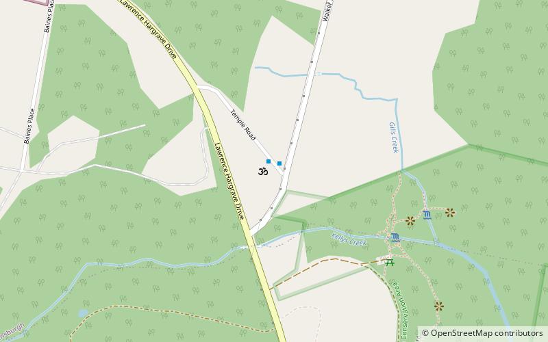
Hindu Temple (address: Temple Road) is a place located in Helensburgh (New South Wales state) and belongs to the category of temple.
It is situated at an altitude of 866 feet, and its geographical coordinates are 34°12'39"S latitude and 150°58'37"E longitude.
Among other places and attractions worth visiting in the area are: Symbio Wildlife Park (outdoor activities, 16 min walk), Bald Hill, Stanwell Park (nature, 33 min walk), Stanwell Creek railway viaduct, Stanwell Park (bridge, 35 min walk).
Coordinates: 34°12'39"S, 150°58'37"E
Day trips


