Garie Beach
Map

Map

Facts and practical information
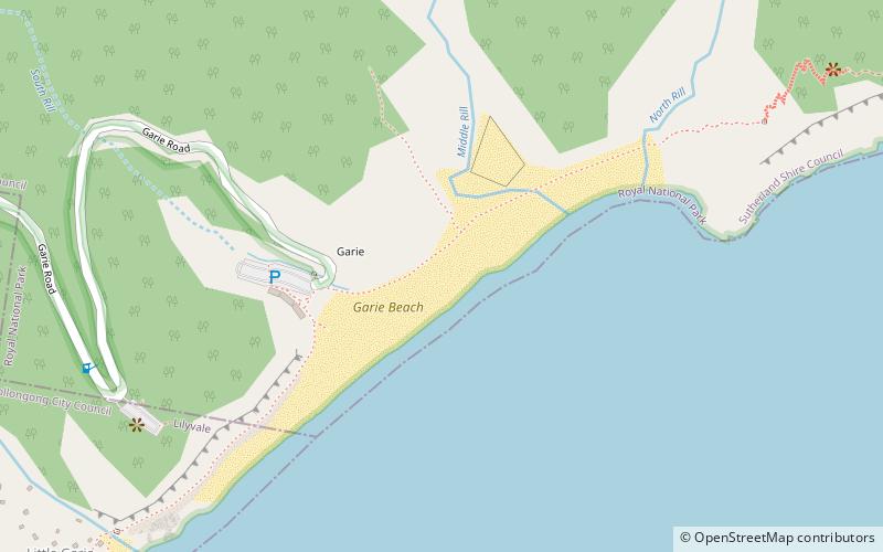
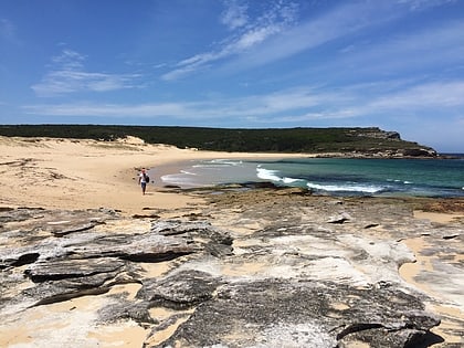
Garie Beach is a patrolled beach in the lower Royal National Park, on the outskirts of southern Sydney, Australia. The beach is one of eleven beaches located within the territory of the Royal National Park. It is also one of three patrolled beaches in the park, with the Garie Surf Life Saving Club patrolling the beach on weekends and Paid lifeguards from ALS Australian Lifeguard Services patrolling on weekdays during the summer school holidays. ()
Coordinates: 34°10'11"S, 151°4'8"E
Location
New South Wales
ContactAdd
Social media
Add
Day trips
Garie Beach – popular in the area (distance from the attraction)
Nearby attractions include: Wedding Cake Rock, Stanwell Creek railway viaduct, Heathcote National Park, Garawarra State Conservation Area.


