Burning Palms

Gallery (1)
Map
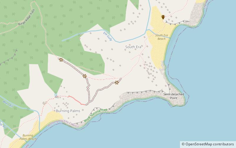
Map
Facts and practical information
Burning Palms is an unbounded neighbourhood within the locality of Lilyvale and a beach in the Royal National Park, Wollongong, south of Sydney, New South Wales, Australia. It has a surf club and a local cabin community, and is a popular day-walk destination, along with the 'figure-8' rock pools on the rock shelf to the beach's south. ()
Coordinates: 34°10'60"S, 151°3'0"E
Location
New South Wales
ContactAdd
Social media
Add
Day trips


