Rosny Hill Road, Hobart
Map
Map

Facts and practical information
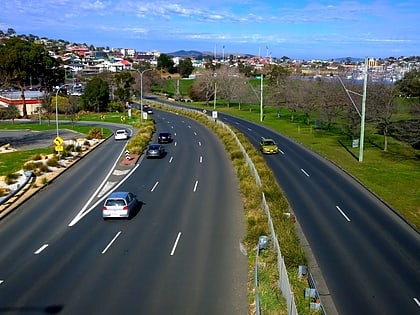
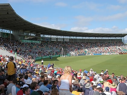
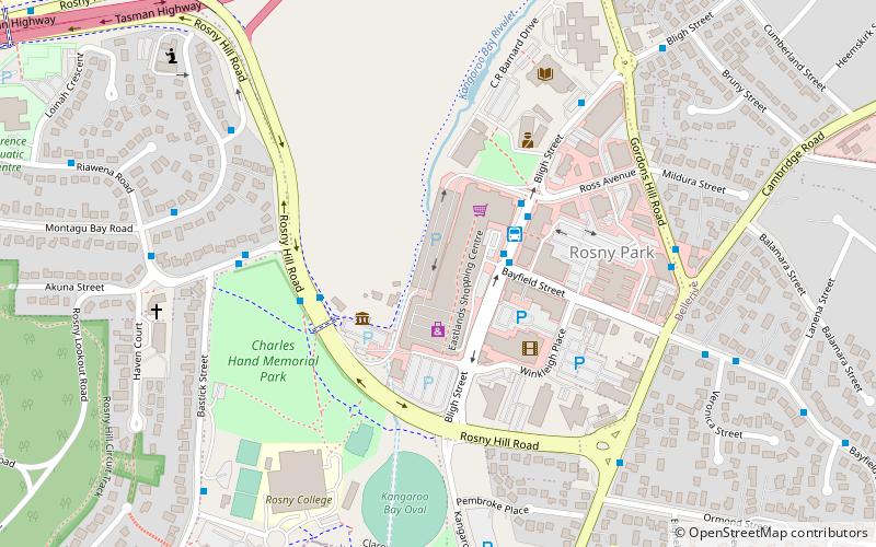
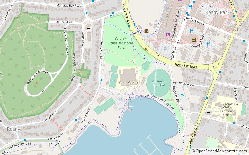
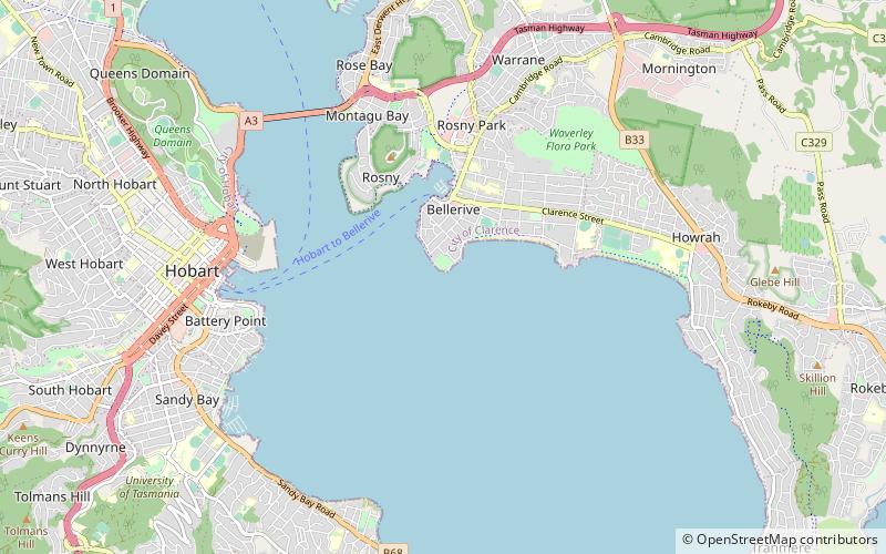
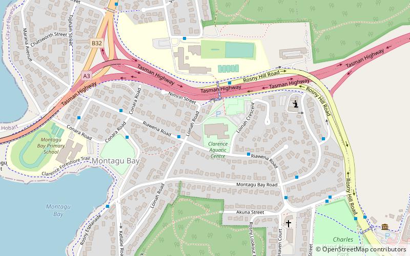
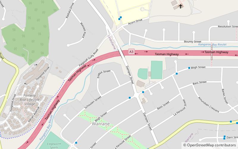
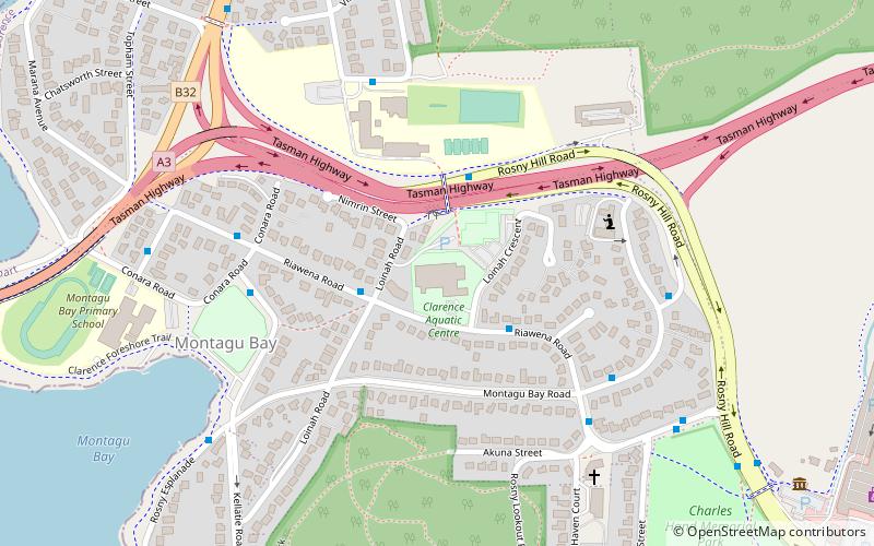
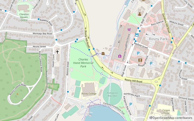
Rosny Hill Road is a major road in Hobart, Australia. Prior to the completion of the Rosny Bypass, Rosny Hill Road was the major Trunk road connecting the city to the airport. Today the road provides a link between the Tasman Highway and the suburbs of Bellerive, Rosny and Warrane as well as providing convenient access to Eastlands and Blundstone Arena ()
Coordinates: 42°52'3"S, 147°21'58"E
Address
Hobart
ContactAdd
Social media
Add
Day trips
Rosny Hill Road – popular in the area (distance from the attraction)
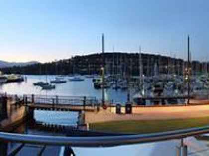
Nearby attractions include: Tasman Bridge, Bellerive Oval, Eastlands Shopping Centre, Bellerive Yacht Club.
Frequently Asked Questions (FAQ)
Which popular attractions are close to Rosny Hill Road?
Nearby attractions include Rosny College, Hobart (4 min walk), Bellerive Yacht Club, Hobart (12 min walk), Bellerive Oval, Hobart (21 min walk).
How to get to Rosny Hill Road by public transport?
The nearest stations to Rosny Hill Road:
Bus
Bus
- Eastlands Interchange (6 min walk)
