St. Peter's Lutheran Church, Hobart
Map
Facts and practical information
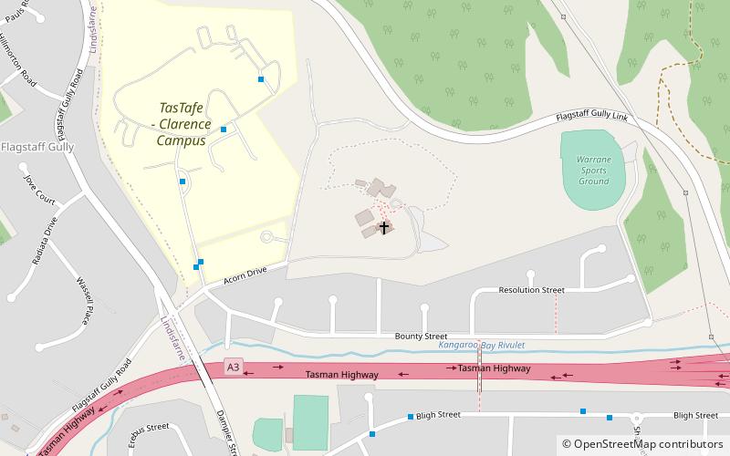
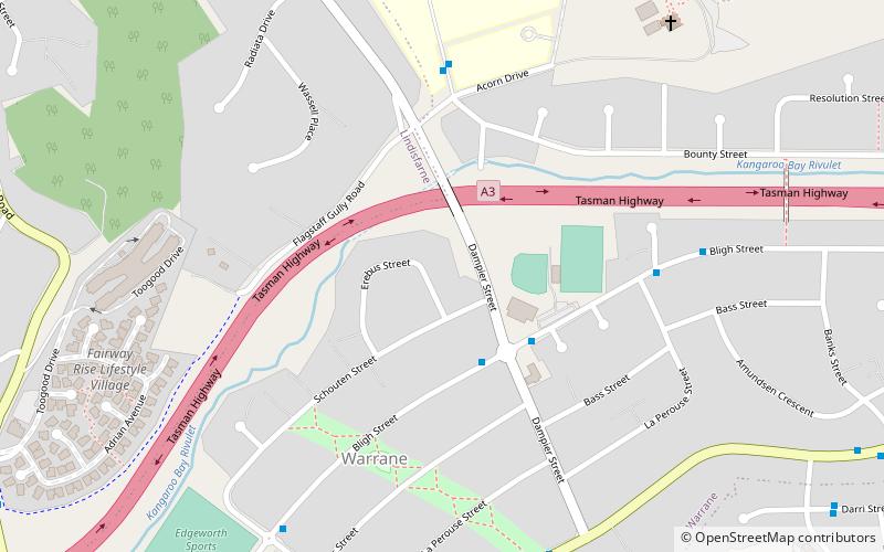
St. Peter's Lutheran Church is located in Warrane, Tasmania. The church's denomination is Lutheran and has approximately 140 members. The Lutheran school associated with St Peter's Church was moved to Warrane in 1982. The church followed a number of years later. In addition to worship services and the church's related religious education and fellowship program, the church has multiple events throughout the year such as the Easter breakfast on Mt Wellington and a Christmas pageant. SPLC is a part of the Victorian-Tasmanian district of the Lutheran Church of Australia. ()
Coordinates: 42°51'9"S, 147°23'2"E
Getting there by public transportation
Public transportation stops near this location
- Bus
 Bus
Bus
- Calculate routeEastlands Interchange 30 min walk
Day trips
St. Peter's Lutheran Church – popular in the area (distance from the attraction)
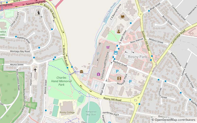
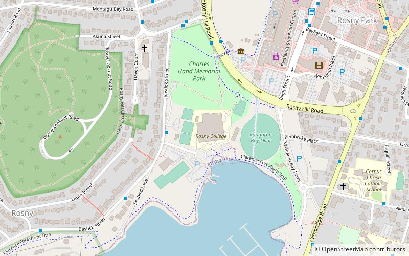
Nearby attractions include: Eastlands Shopping Centre, Rosny College, Rosny Hill Road, Warrior Park.

Frequently Asked Questions (FAQ)
How to get to St. Peter's Lutheran Church by public transport?
The nearest stations to St. Peter's Lutheran Church:
Bus
Bus
- Eastlands Interchange (30 min walk)