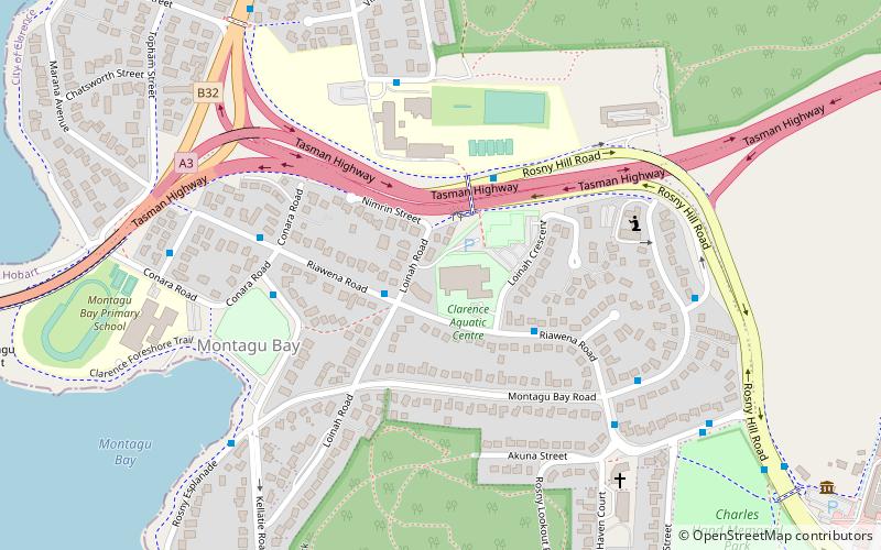
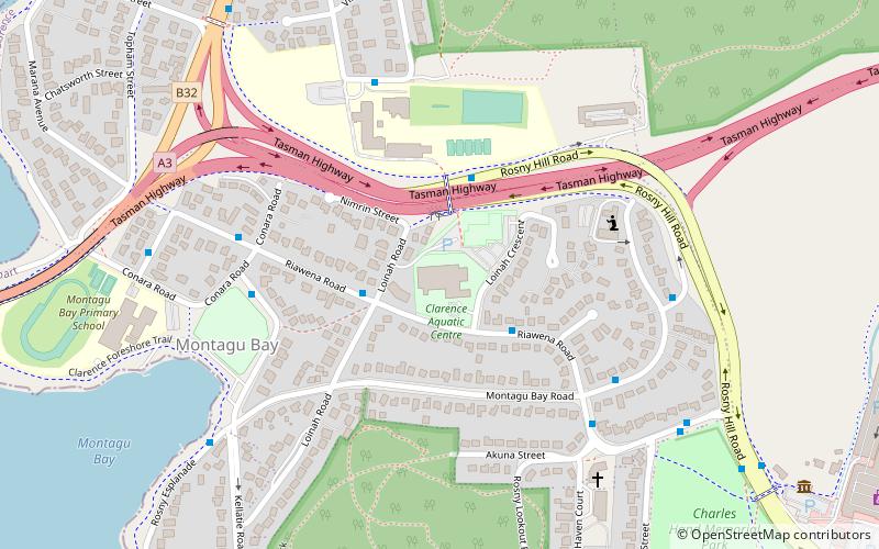
Warrior Park, Hobart
Map
Facts and practical information
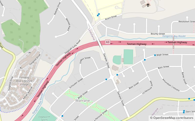
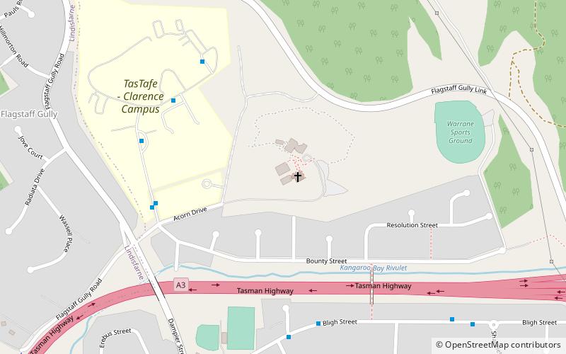
Empire Couriers Park the formally known Warrior Park is the home ground of association football club Olympia FC Warriors who play in the NPL Tasmania. Warrior Park is situated in the Greater Hobart suburb of Warrane. ()
Coordinates: 42°51'22"S, 147°22'48"E
Address
Hobart
ContactAdd
Social media
Add
Getting there by public transportation
Public transportation stops near this location
- Bus
 Bus
Bus
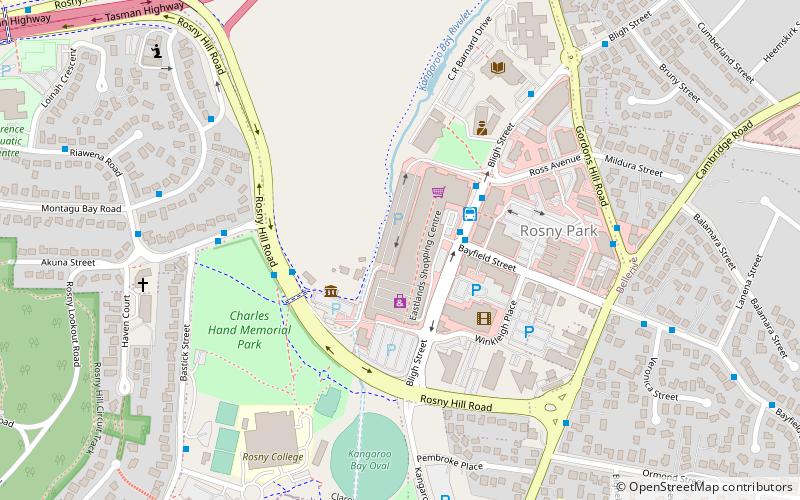
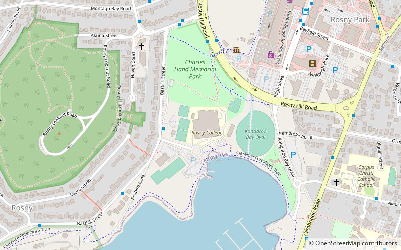
- Calculate routeEastlands Interchange 22 min walk
Day trips


Frequently Asked Questions (FAQ)
How to get to Warrior Park by public transport?
The nearest stations to Warrior Park:
Bus
Bus
- Eastlands Interchange (22 min walk)