Oatley Park, Sydney
Map

Gallery

Facts and practical information
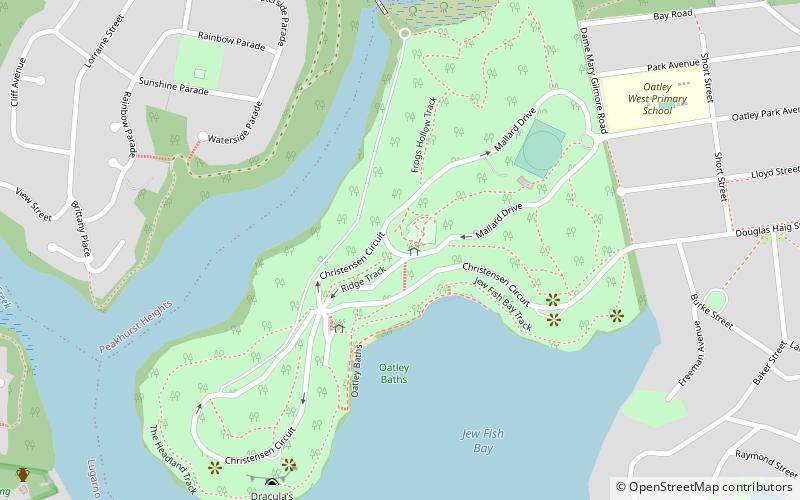
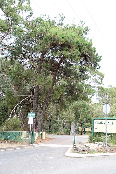
Oatley Park is a 112 acres reserve located on a promontory jutting into the Georges River in the southern Sydney suburb of Oatley. It is bounded by the Georges River, Lime Kiln Bay, and Jew Fish Bay. The park includes natural bushland, waterways, a children's playground, and an oval. The park is a popular place for picnics, recreational, and sporting activities. ()
Elevation: 138 ft a.s.l.Coordinates: 33°58'54"S, 151°3'36"E
Address
Oatley Park AveHurstville (Oatley)Sydney 2223
ContactAdd
Social media
Add
Day trips
Oatley Park – popular in the area (distance from the attraction)
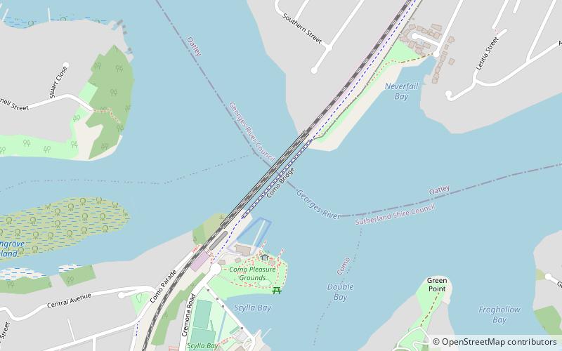
Nearby attractions include: Mortdale Memorial Park, Como railway bridge, Tom Uglys Bridge, Como Marina.
Frequently Asked Questions (FAQ)
Which popular attractions are close to Oatley Park?
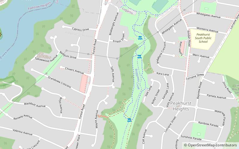
Nearby attractions include Tom Uglys Bridge, Sydney (18 min walk), Boggywell Creek, Sydney (19 min walk).
How to get to Oatley Park by public transport?
The nearest stations to Oatley Park:
Train
Train
- Oatley (28 min walk)

 Sydney Trains
 Sydney Light Rail
 Sydney Ferries


