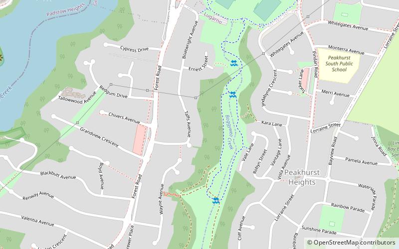
Boggywell Creek, Sydney

Map
Facts and practical information
Coordinates: 33°58'30"S, 151°3'0"E
Address
Hurstville (Lugarno)Sydney
ContactAdd
Social media
Add
Day trips
Boggywell Creek – popular in the area (distance from the attraction)
Nearby attractions include: Oatley Park, Tom Uglys Bridge, Alfords Point Bridge, Hurstville Golf Course.
Frequently Asked Questions (FAQ)
How to get to Boggywell Creek by public transport?
The nearest stations to Boggywell Creek:
Bus
Bus
- Belmore Road • Lines: M91 (25 min walk)
- Waldo Crescent • Lines: M91 (25 min walk)
 Sydney Trains
 Sydney Light Rail
 Sydney Ferries


