Warumbul, Royal National Park

Gallery (1)
Map
Map
Facts and practical information
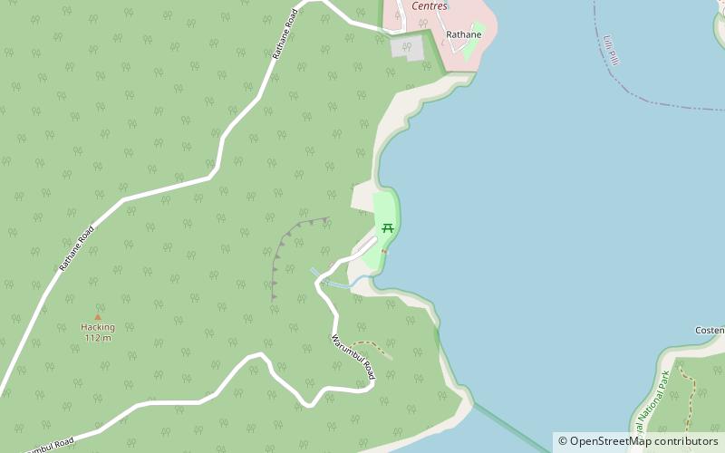
Warumbul is a locality in the Royal National Park on the outskirts of southern Sydney, in the state of New South Wales, Australia. Warumbul is located about 1.5 km southwest of Lilli Pilli on the southern side of Port Hacking. ()
Elevation: 66 ft a.s.l.Coordinates: 34°4'33"S, 151°6'11"E
Address
Warumbul RdSutherland (Royal National Park)Royal National Park
ContactAdd
Social media
Add
Day trips