Audley historic recreational complex, Royal National Park
Map

Map

Facts and practical information
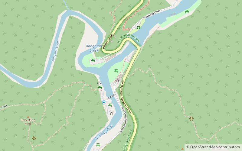
Audley historic recreational complex is a heritage-listed recreation area at Sir Bertram Stevens & Audley Road, Audley, Sutherland Shire, New South Wales, Australia. It was built from 1879. The property is owned by the Office of Environment and Heritage, an agency of the Government of New South Wales. It was added to the New South Wales State Heritage Register on 2 April 1999. ()
Elevation: 56 ft a.s.l.Coordinates: 34°4'31"S, 151°3'22"E
Address
Sutherland (Royal National Park)Royal National Park
Contact
+61 2 9542 6222
Social media
Add
Day trips
Audley historic recreational complex – popular in the area (distance from the attraction)
Nearby attractions include: Sydney Tramway Museum, Westfield Miranda, Hazelhurst Regional Gallery & Arts Centre, Lucas Watermills Archaeological Sites.
Frequently Asked Questions (FAQ)
How to get to Audley historic recreational complex by public transport?
The nearest stations to Audley historic recreational complex:
Tram
Tram
- Royal National Park (23 min walk)


