Bracken Ridge, Brisbane

Gallery (1)
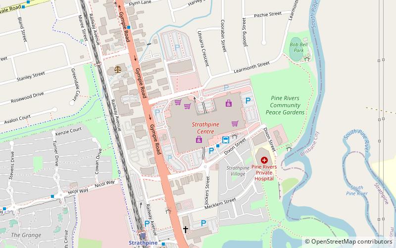
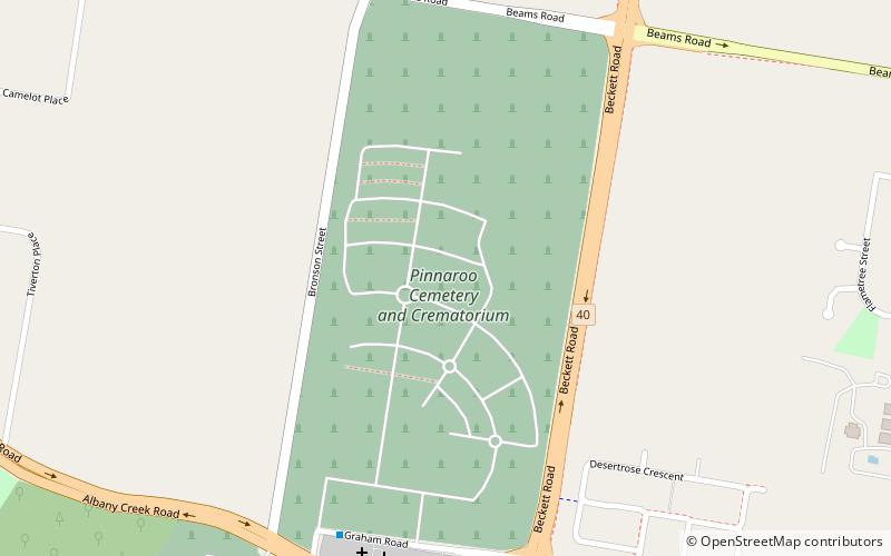
Map
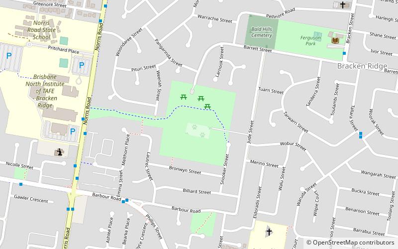
Map
Facts and practical information
Bracken Ridge is a northern suburb in the City of Brisbane, Queensland, Australia. In the 2016 census Bracken Ridge had a population of 16,936 people. ()
Address
Bracken RidgeBrisbane
ContactAdd
Social media
Add
Getting there by public transportation
Public transportation stops near this location
- Bus
 Bus
Bus
- Calculate routeBarbour Rd near Phillips St 8 min walk
- Calculate routeNorris Rd near Barbour Rd 9 min walk
Day trips


Frequently Asked Questions (FAQ)
How to get to Bracken Ridge by public transport?
The nearest stations to Bracken Ridge:
Bus
Bus
- Barbour Rd near Phillips St • Lines: 330, N339, P331 (8 min walk)
- Norris Rd near Barbour Rd • Lines: N339 (9 min walk)