Melbourne/Brighton and Caulfield, Melbourne
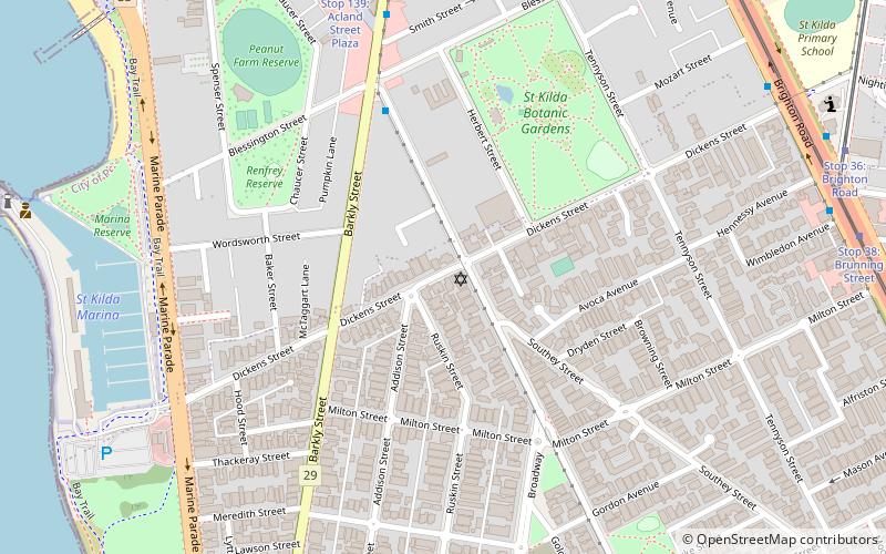
Map

Gallery

Facts and practical information
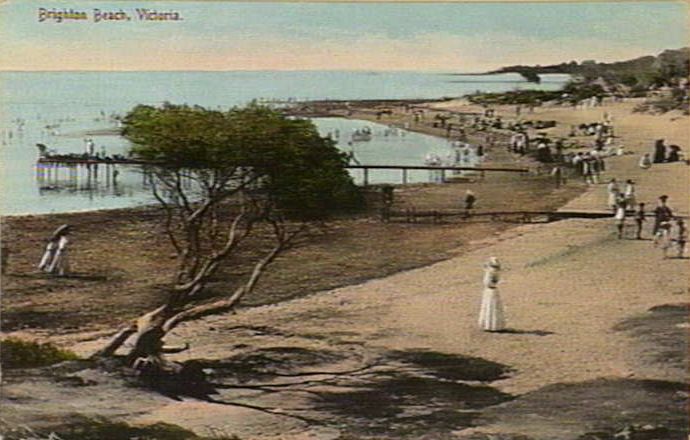
Brighton is a suburb of Melbourne, Victoria, Australia, 11 km south-east of Melbourne's central business district. Its local government area is the City of Bayside. According to the Australian Bureau of Statistics, Brighton had a population of 23,253 people in 2016. Brighton is named after Brighton in England. ()
Address
Bayside (Brighton)Melbourne
ContactAdd
Social media
Add
Day trips
Melbourne/Brighton and Caulfield – popular in the area (distance from the attraction)
Nearby attractions include: Luna Park, Rippon Lea Estate, Glen Huntly Road, Brighton Beach.
Frequently Asked Questions (FAQ)
Which popular attractions are close to Melbourne/Brighton and Caulfield?
Nearby attractions include St Andrew's Graveyard, Melbourne (12 min walk), Royal Brighton Yacht Club, Melbourne (16 min walk).
How to get to Melbourne/Brighton and Caulfield by public transport?
The nearest stations to Melbourne/Brighton and Caulfield:
Bus
Train
Tram
Bus
- North Brighton Station • Lines: 626, 703, 823, Penninsula Express (10 min walk)
- Hillcrest Avenue • Lines: 626, 703, 823, Penninsula Express (15 min walk)
Train
- North Brighton (10 min walk)
- Middle Brighton (18 min walk)
Tram
- Stop 67: Howell Street • Lines: 64, 64d (32 min walk)
- Stop 67: Rogers Avenue • Lines: 64 (32 min walk)

 Melbourne Trams
 Victoria Trains


