Williamstown Cricket Ground, Melbourne
Map

Map

Facts and practical information
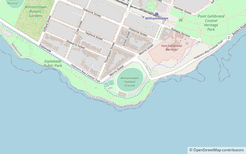
The Williamstown Cricket Ground, currently known by its sponsored name Downer Oval, and also informally as Point Gellibrand Oval, is a football and cricket stadium located in Williamstown, Victoria. The ground is located on Point Gellibrand, the southernmost point of Williamstown which juts into Port Phillip Bay. The ground is currently the home of the Williamstown Football Club in the Victorian Football League, and the Williamstown Cricket Club in the Victorian Sub-District Cricket Association. ()
Capacity: 10 thous.Coordinates: 37°52'16"S, 144°54'11"E
Day trips
Williamstown Cricket Ground – popular in the area (distance from the attraction)
Nearby attractions include: Newport Railway Museum, Melbourne/Hobsons Bay, St Mary's Catholic Church, Gem Pier.
Frequently Asked Questions (FAQ)
Which popular attractions are close to Williamstown Cricket Ground?
Nearby attractions include Fort Gellibrand, Melbourne (6 min walk), St Mary's Catholic Church, Melbourne (14 min walk), Williamstown Timeball Tower, Melbourne (16 min walk), Gem Pier, Melbourne (18 min walk).
How to get to Williamstown Cricket Ground by public transport?
The nearest stations to Williamstown Cricket Ground:
Train
Bus
Train
- Williamstown (7 min walk)
- Williamstown Beach (18 min walk)
Bus
- Williamstown (22 min walk)

 Melbourne Trams
 Victoria Trains


