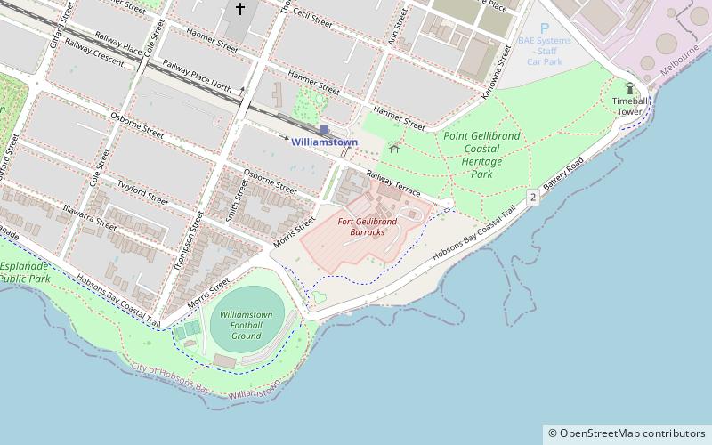
Fort Gellibrand, Melbourne
Map

Map

Facts and practical information
Fort Gellibrand is a heritage-listed military installation at Morris Street, Williamstown, Victoria, Australia. It was added to the Australian Commonwealth Heritage List on 22 June 2004. ()
Coordinates: 37°52'10"S, 144°54'22"E
Address
Hobsons Bay (Williamstown)Melbourne
ContactAdd
Social media
Add
Day trips
Fort Gellibrand – popular in the area (distance from the attraction)
Nearby attractions include: Newport Railway Museum, Melbourne/Hobsons Bay, St Mary's Catholic Church, Gem Pier.
Frequently Asked Questions (FAQ)
Which popular attractions are close to Fort Gellibrand?
Nearby attractions include Williamstown Timeball Tower, Melbourne (11 min walk), St Mary's Catholic Church, Melbourne (13 min walk), Gem Pier, Melbourne (14 min walk), HMAS Castlemaine, Melbourne (15 min walk).
How to get to Fort Gellibrand by public transport?
The nearest stations to Fort Gellibrand:
Train
Bus
Train
- Williamstown (4 min walk)
- Williamstown Beach (19 min walk)
Bus
- Williamstown (26 min walk)

 Melbourne Trams
 Victoria Trains


